Maule & Araucanía: a wild camper road trip through southern Chile
By Johan & Delphine | June 2026
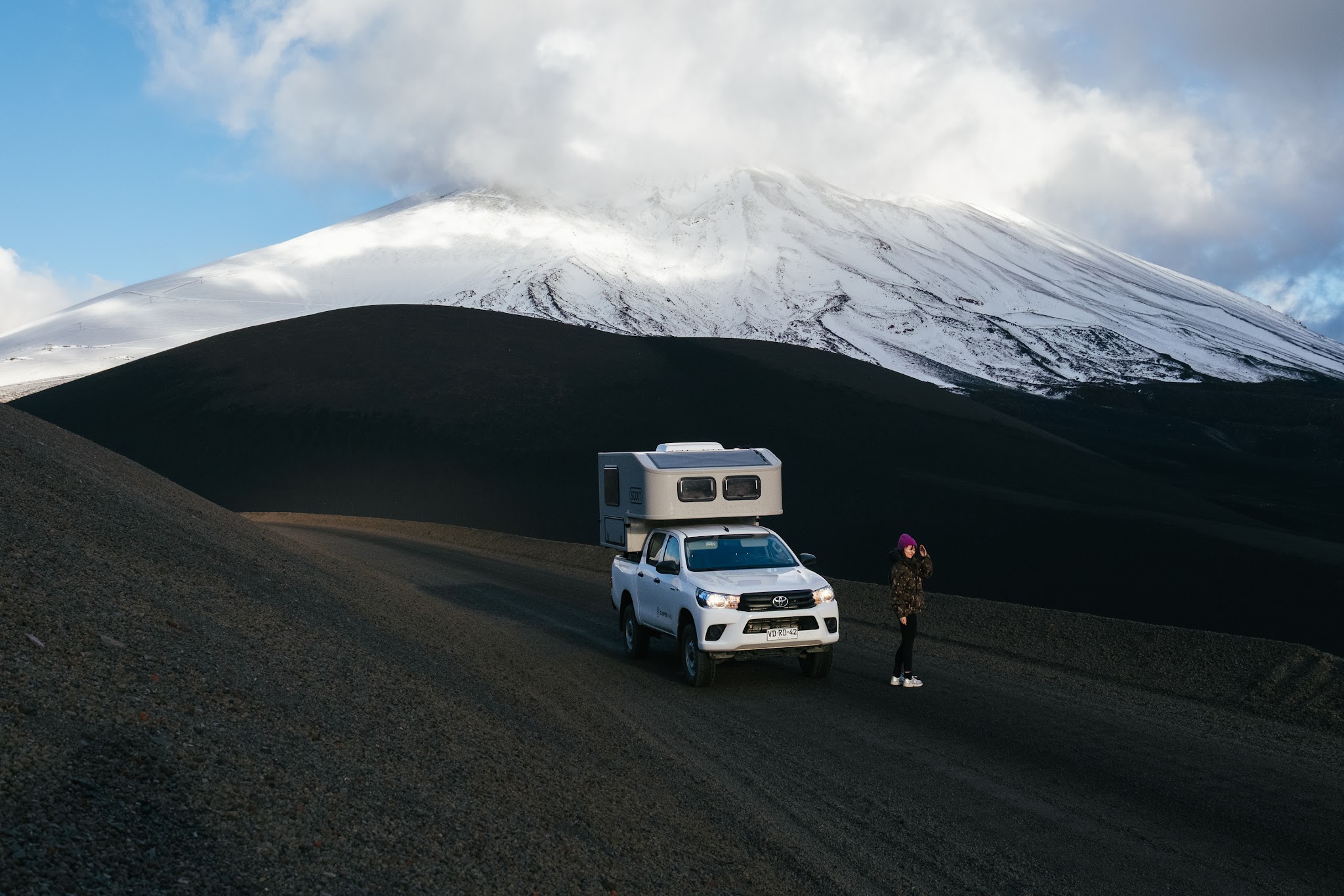
Let’s be honest: the perfect, polished, travel-brochure kind of trip has never really been my thing.
For me, the adventure usually starts long before the mountains, volcanoes or dusty tracks. It often begins at the back of a plane, squeezed into economy class for endless hours, spending nights in empty airports, half-lying on uncomfortable benches.
This trip was no exception. After nearly 40 hours of travel and a few very questionable hours of sleep, I finally landed in Puerto Montt, slightly wrecked by jet lag, where Johan was waiting for me after already spending two weeks roaming the roads of Patagonia.
Our plan? Pick up our new home on wheels from our friends at Camper World Chile, head north, and simply let the road guide us.
What we didn’t know yet was that this week would turn into a concentrated dose of raw emotion. Between the quest for Puerto Varas’ best cinnamon roll, a memorable hike on what felt like the Moon, and one particularly intense session of cold sweats on a forest track far too narrow for our vehicle… let’s just say we stayed busy. Add to that roads lined with thousand-year-old araucaria trees, steaming hot springs hidden among volcanoes, XXL empanadas devoured in front of a waterfall, and several river crossings during which I seriously considered turning back… and you probably get one of the most beautiful road trips we’ve ever experienced in Chile.
Fasten your seatbelt, forget the tropical clichés often associated with South America, and put on your warmest fleece: we’re taking you with us, unfiltered, into a volcanic, autumnal and deeply wild side of Chile.
All aboard, mateys!
The itinerary at a glance
Day 0
Arrival in Puerto Montt – Picking up the camper in Puerto Varas – Overnight stay by Lake Llanquihue
Day 1
Drive towards Malalcahuello – Scenic drive through araucaria forests along the R-89 – First wild camping spot
Day 2
Cráter Navidad hike – Coffee break at Valle Corralco Hotel & Spa
Day 3
Salto de la Princesa – A stressful detour towards Laguna Blanca – Relaxing soak at the Termas de Malleco
Day 4
Sierra Nevada hike (Conguillío National Park) – Face-to-face with Llaima Volcano
Days 5-7
Drive towards the Maule Region – Immersion in the private reserve of Cuenca Andina
Day 0 – safely arrived in Puerto Montt!
As I mentioned earlier, I crossed half the world on my own to reunite with Johan. When the airport doors in Puerto Montt finally opened and I spotted him waiting behind the glass, the exhaustion disappeared in a split second. Even though we’re used to spending time apart, these reunions always carry a very special kind of sweetness. One huge hug and a few “I missed you so much” later, the journey could officially begin.
The evolution of our little home on wheels
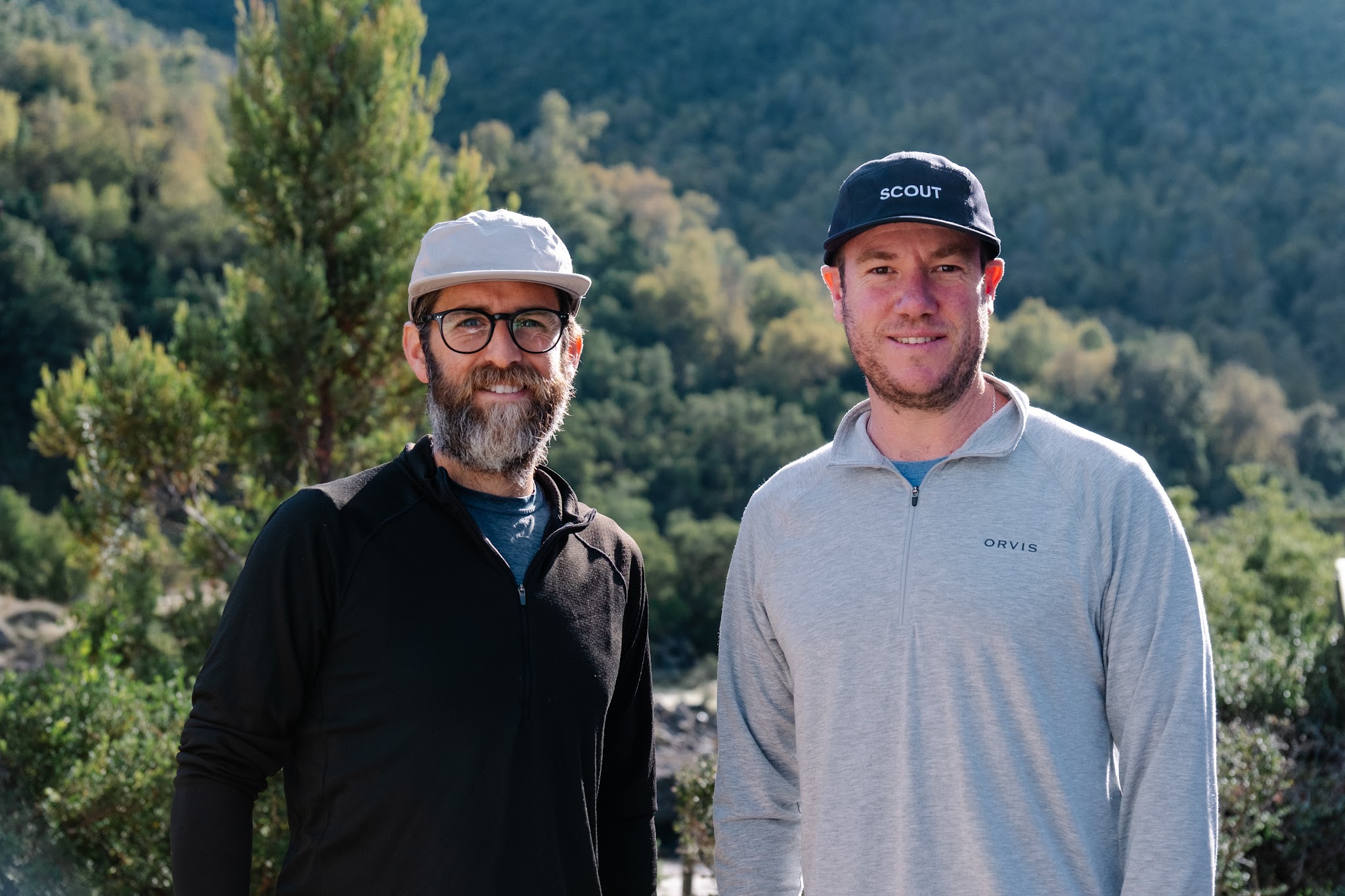
We headed to Puerto Varas, where Pedro and Juan, the founders of Camper World Chile, were waiting to hand over the keys to our vehicle for the week.
There was a lot of excitement as we arrived at their office. Of course, because it officially marked the beginning of our road trip. But mostly because we were finally seeing them again in person.
Two years earlier, we had spent four months driving across Chile, Argentina and Bolivia in one of their campers. An absolutely crazy adventure – probably one of the most memorable trips of our lives – during which Pedro and Juan had become true friends. You can actually find all of our road books from that adventure here.
And honestly? They hadn’t changed one bit: same smiles, same beards, same Patagonia jackets.
What had clearly changed, though, was their fleet.
The camper units had been completely redesigned, modernized and made even more comfortable. During the briefing, we discovered all the new features with the very particular excitement of people who already know just how quickly a tiny house on wheels can become a safe haven after several days on the road.
Some of the upgrades immediately won us over.
I’ll come back to this later, but the new windows in the sleeping area, the ultra-efficient heating system and the much more powerful electrical setup were probably our favorite improvements of the entire trip.
At that point, there was only one thing we wanted: to get back on the road.
First raindrops, first bivouac and a delicious plan B
While back in Belgium the sun stretches well past 8:30pm in May, we suddenly found ourselves in a completely different rhythm here: by 6pm sharp, darkness had already swallowed the landscape whole.
After so many hours of flying, there was no way we were going to drive endless kilometres on dark highways. What I wanted at that moment was very simple: just settle down with Johan. So we parked the camper facing Lake Llanquihue, not far from the statue of Princess Licarayén.
Outside, autumn made a brutal entrance: the wind was howling and the rain had started hammering against the roof. Thankfully, our wool sweaters and beanies were already out.
For this first evening, we had one very specific plan in mind: going back to Taverne Nosé, a hugely popular pub-restaurant in Puerto Varas where, two years earlier, we had eaten the best mussels and fries of our lives. But camper travel also means embracing improvisation, and the tavern, unsurprisingly, was fully booked.
No matter. Unexpected detours are part of the adventure after all. So we headed a little further down to Pataliebre, a cosy little café-bar with an incredibly warm atmosphere. Completely different vibe, but absolutely no regrets: we devoured a giant homemade burger while catching each other up on our two weeks apart.
Then, almost without warning, the exhaustion of the journey hit us all at once. We quickly paid the bill and rushed back to the camper.
That first evening was incredibly simple, yet deeply comforting: the rain outside, the warm glow inside the camper, Johan beside me, and that wonderful feeling of knowing an entire week of adventure was waiting ahead of us.
Day 1 – Malalcahuello, in the land of araucarias
Practical information for this stage
Driving time: around 4.5 to 5 hours from Puerto Varas
Region: Araucanía
Why go there? For its active volcanoes, prehistoric forests, wild hikes and comforting hot springs
What to pack: warm clothes, a windbreaker and a beanie, especially during autumn
Good to know: the main roads are in excellent condition and there are plenty of gas stations along the way
A gentle morning in Puerto Varas
The next morning, the plan was simple: take our time.
To start the day properly, we tested a new lakeside address: Café Tutti, a spot specialized in specialty coffee. Let’s just say Johan’s eyes were already sparkling before he had even ordered. By now, you’ve probably understood that he has a very serious relationship with caffeine.
As for me, it was the giant cinnamon roll sitting in the display window that immediately stole all of my attention.
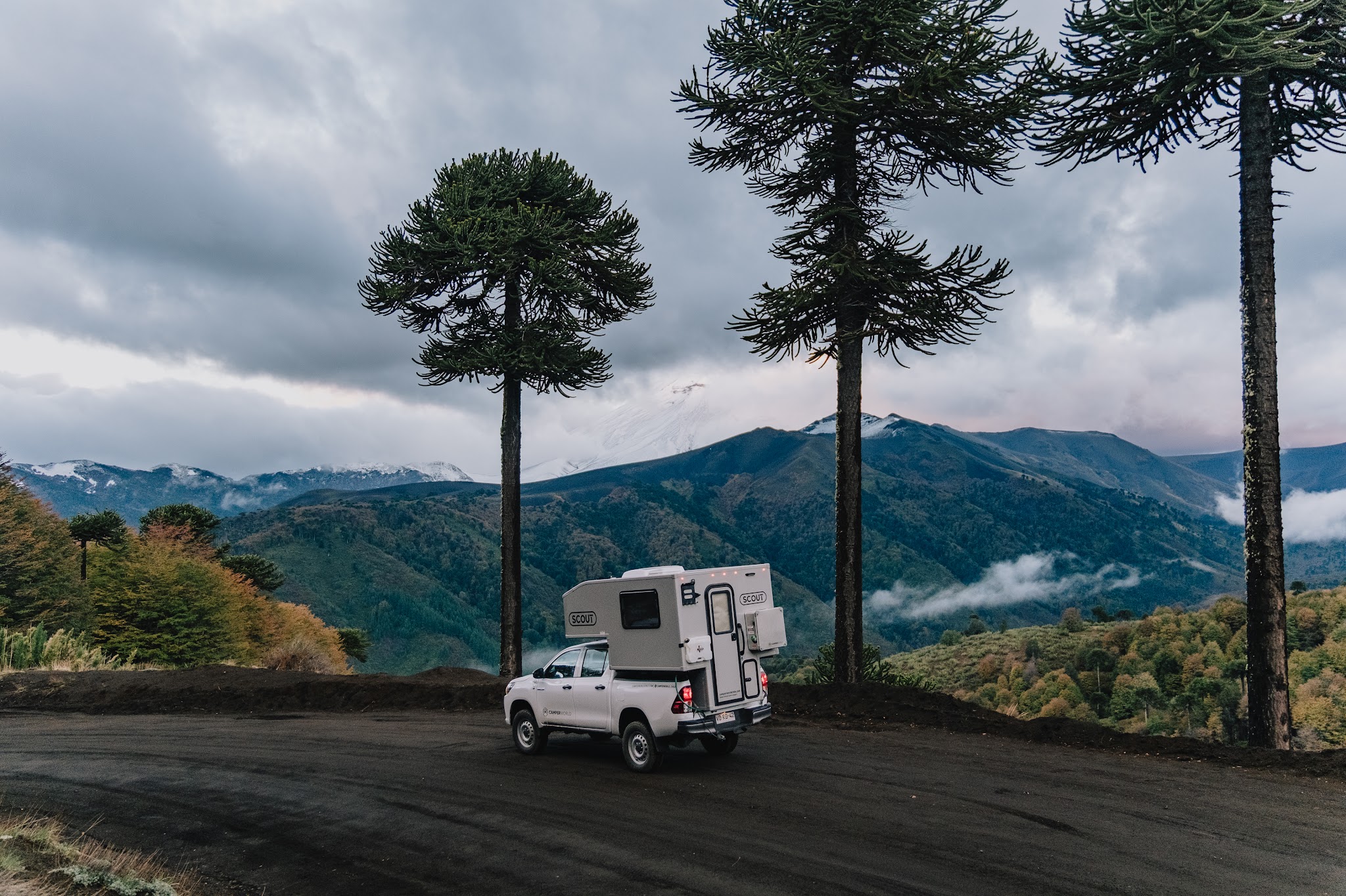
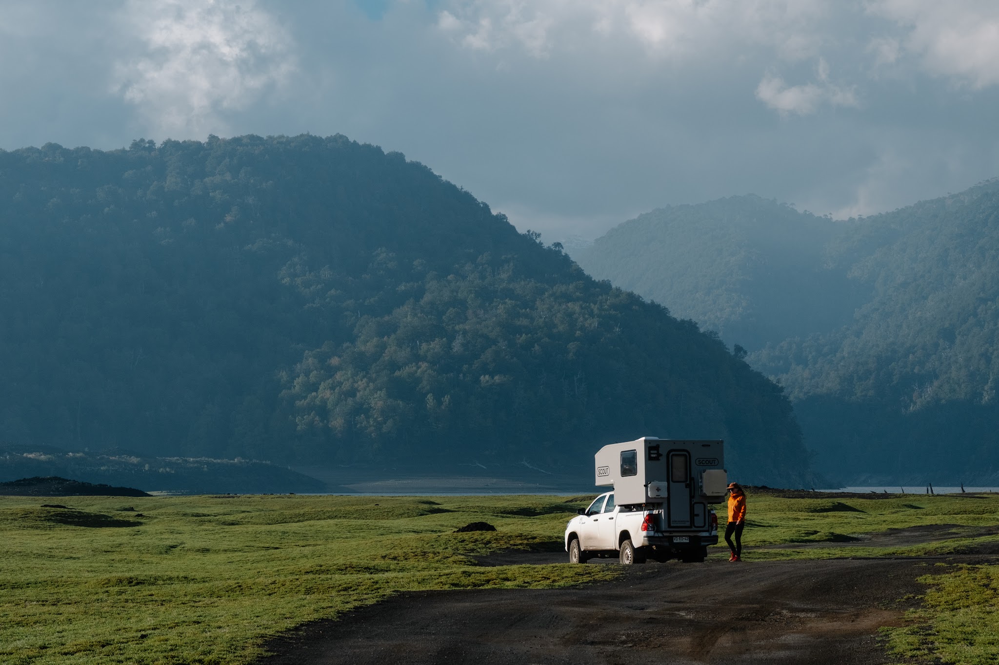
We settled down next to the large bay window. From there, we had a direct view of our camper parked right outside the café. It already felt as though it was quietly watching over us – or maybe it was the other way around. Either way, we could already tell it was going to become a character of its own throughout this trip. A loyal companion that would never be far away.
A few minutes later, the cinnamon roll arrived at the table still warm, alongside a steaming cup of tea. Absolute bliss. Hands wrapped around our mugs, we started planning the week ahead.
Volcanoes.Hikes.Hot springs.Araucaria forests.
On the road to the volcanoes
Alright, time to hit the road!
As we left Puerto Varas behind, I had to deal with one unwanted travel companion: jet lag.
On this first day, it still hovered around me like a stubborn fog. So we decided to drive slowly and take our time. Which actually worked out perfectly, because here, the drives are fully part of the adventure.
Unlike some road trips where endless hours behind the wheel can eventually feel exhausting, covering kilometres in Araucanía is genuinely enjoyable. The roads are excellent, and volcano silhouettes constantly appear on the horizon, reminding you that you’re crossing one of the most geologically active regions on Earth.
Chile is part of the Pacific Ring of Fire, one of the planet’s most active volcanic zones. The country has more than 2,000 volcanoes, around 90 of which are considered potentially active.
And once you enter Araucanía, that volcanic activity becomes visible everywhere: in the hot springs, in the black lava fields, in the perfectly shaped cones dominating the skyline, and in those fascinating forests slowly growing back over ancient lava flows.
The appearance of prehistoric giants
While Johan was driving, we spent the journey listening to podcasts. Then little by little, the scenery started to change: the road became wilder, the mountains grew closer, the forest thickened… And suddenly, around a bend in the road, they appeared: the first araucarias.
Huge.Prehistoric.Almost unreal.
Our destination for the day, Malalcahuello, is a small Andean village nestled at the foot of several active volcanoes, right in the heart of one of the last great wilderness areas of south-central Chile.
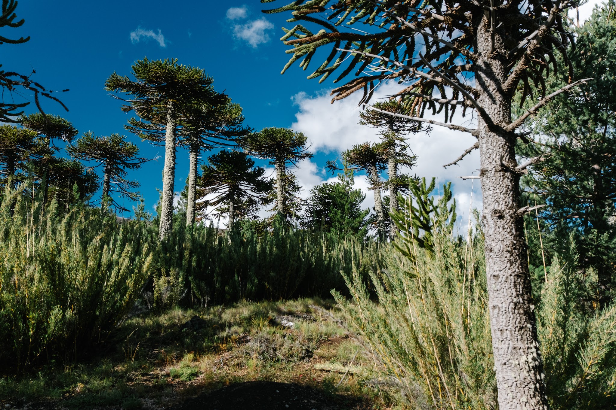
The tracks disappear into forests of pehuéns – another name for the araucaria tree – which can live for more than a thousand years. Some scientists even believe their ancestors already existed during the age of dinosaurs. And when you drive among these gigantic geometric silhouettes, it becomes very easy to understand why so many travellers compare the region to Jurassic Park.
But Araucanía is not only about spectacular landscapes. It is also a territory deeply connected to Mapuche-Pewenche culture. The word “Pewenche” literally means “the people of the pehuén.” For centuries, local communities lived alongside this sacred tree, harvesting its seeds – the famous piñones – which were eaten boiled, roasted or ground into flour.
Even today, you can still find these traditional pine nuts served in some small restaurants throughout the region.
The R-89 road: Jurassic Park, Chilean version
If there’s one road we’d truly recommend taking your time to explore in the Malalcahuello region, it’s the R-89 connecting the tiny settlement of Las Vertientes to the town of Lonquimay. And honestly, here, the journey is almost as spectacular as the destination itself.
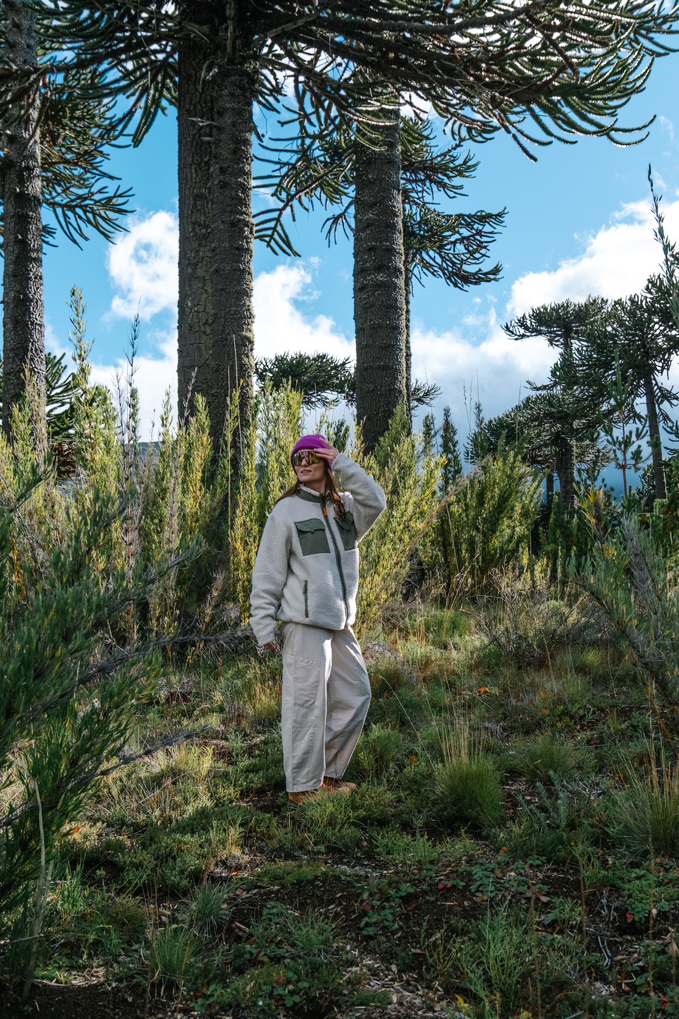
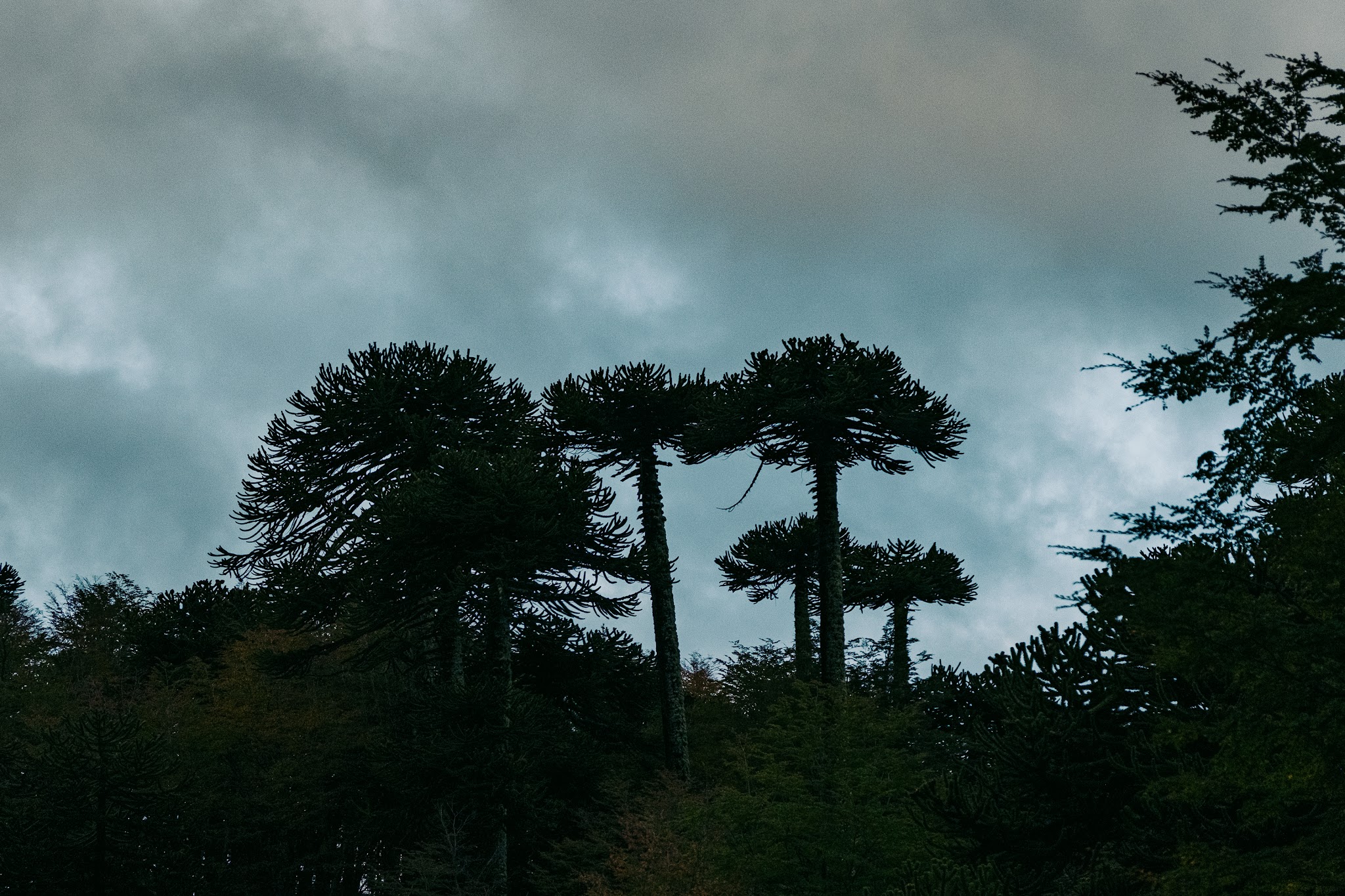
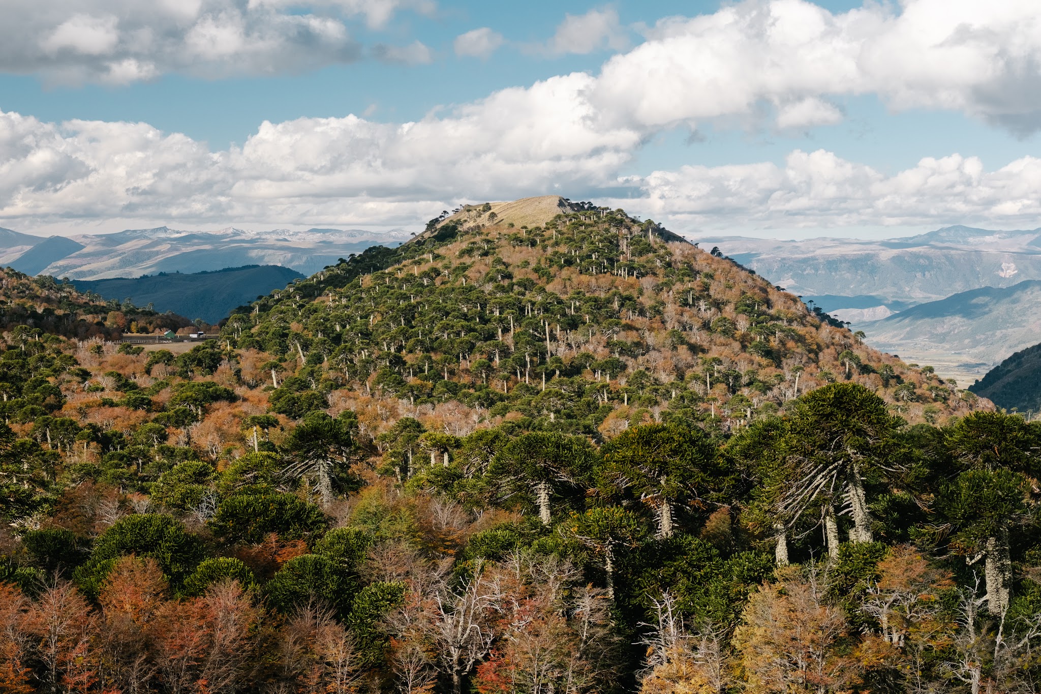
For dozens of kilometres, the road winds through volcanic hills covered with araucaria trees. These prehistoric giants sometimes appear completely isolated on the ridgelines, standing tall against the sky like enormous vegetal toothpicks planted in a landscape straight out of Jurassic Park.
At times, it genuinely felt as though we were driving through a lost world.
The R-89 is incredibly photogenic, especially when clouds cling to the volcanoes and the light turns dramatic. Every corner makes you want to stop for a photo – or simply stand still for a few minutes to take in the scenery.
And thankfully, there’s no shortage of panoramic viewpoints along the way.
Where the image on the 2,000 peso bill was born
We stopped at one of the region’s must-see viewpoints: the Mirador del Billete de 2000 Pesos.
This small viewpoint became famous throughout Chile for a rather unusual reason: the photograph featured on the Chilean 2,000 peso banknote was taken right here. Normally, the viewpoint offers a spectacular panorama of Lonquimay Volcano framed by the distinctive silhouettes of araucaria trees.
Well… in theory.
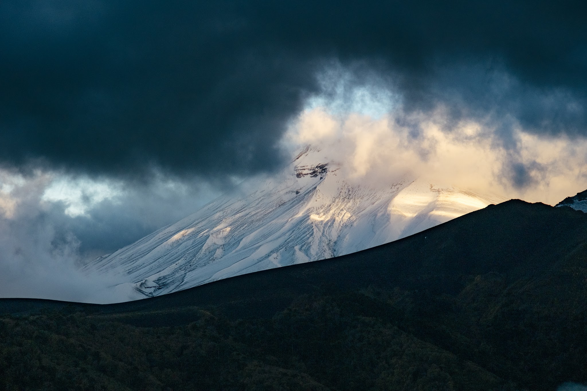
Because on the day we visited, the volcano had clearly decided to play hide-and-seek behind a massive layer of clouds. Let’s just say our attempt to compare the view with the official banknote was slightly compromised.
But even without the perfectly clear view, the place remains stunning. The road cuts through an absolutely spectacular araucaria forest and already gives you a very good glimpse of the volcanic landscapes waiting further ahead in the coming days.
Our first wild bivouac in nature
For this first night in Araucanía, we found an absolutely magical bivouac spot. No phone signal, not a single artificial light. Just the sound of wind whistling through the araucaria branches and rain drumming against the camper roof.
After weeks of living at a frantic pace back in Europe, that silence felt deeply soothing.
By barely 8pm, we were already in bed, wrapped tightly under the duvet, recovering from the journey and slowly beginning to adjust to Chilean time.
Tomorrow, the gigantic lava fields await us.
Day 2 – Cráter Navidad: I walked on the Moon
Mirador Patachoique: our missed rendezvous
Among the region’s best-known viewpoints is Mirador Patachoique.
This private viewpoint, directly accessible by car, normally offers spectacular views over the surrounding volcanoes and araucaria forests.
Unfortunately for us, we arrived far too early in the morning and the site had not opened yet. Since access is paid, there was no way to get in at that hour. A small missed opportunity.
But if you have the chance to stop there during your road trip, it is absolutely worth the detour.
Mirador de Los Volcanes: panoramic views over a lunar landscape
Another unmissable stop in the region is Mirador de Los Volcanes.
Easily accessible by car, this small wooden-boardwalk viewpoint offers an impressive panoramic view over the entire volcanic area surrounding Lonquimay.
And even though the weather was definitely not on our side that day, the landscape remained completely fascinating.
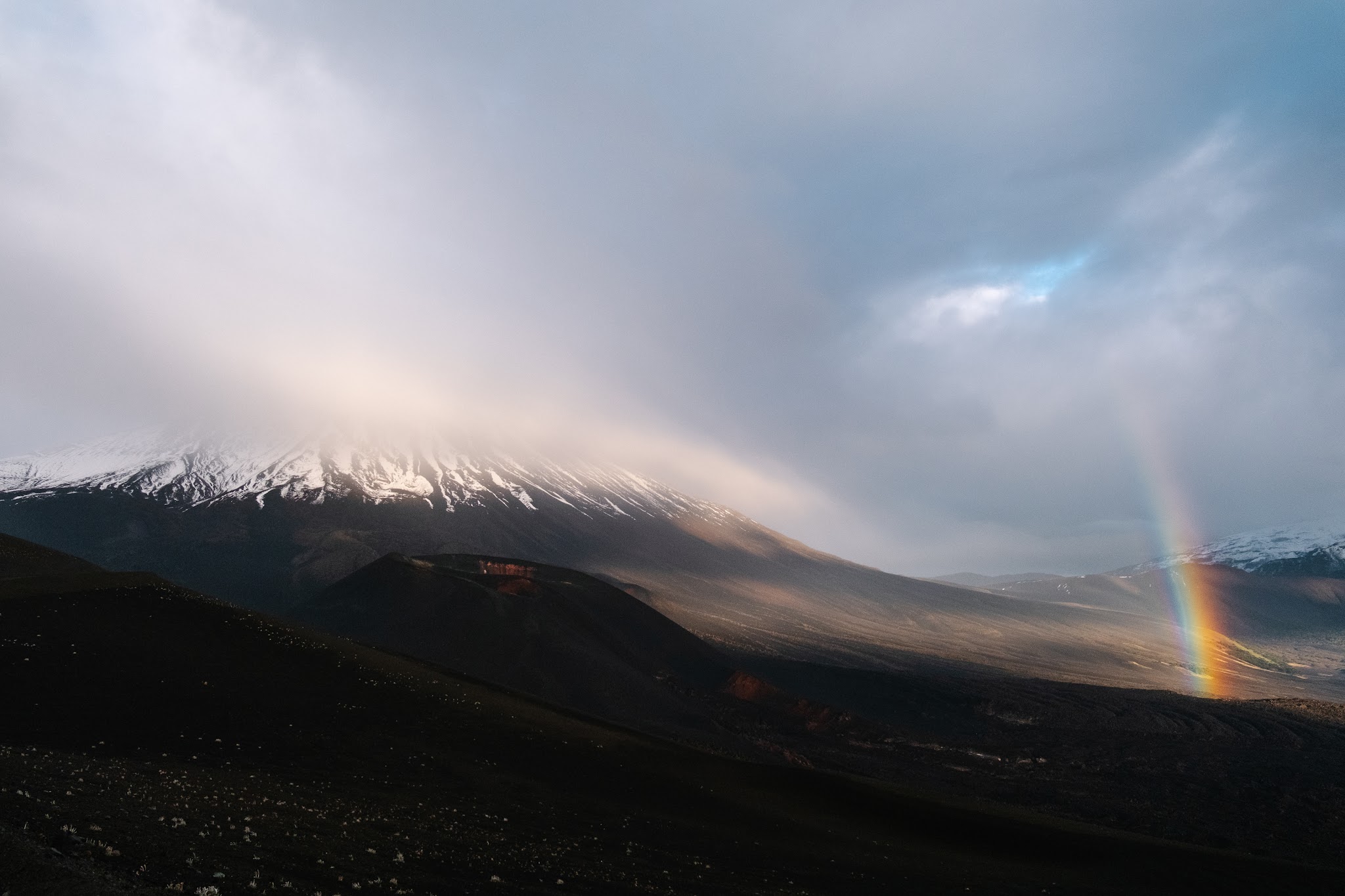
The name “Mirador de Los Volcanes” comes from the fact that, when the sky is clear, you can normally see an entire chain of volcanoes lined up along the horizon. During our visit, however, the clouds had clearly decided to ruin the show. Even the summit of Lonquimay Volcano remained partially hidden behind a thick grey blanket.
But paradoxically, that dramatic weather almost made the atmosphere even more powerful.
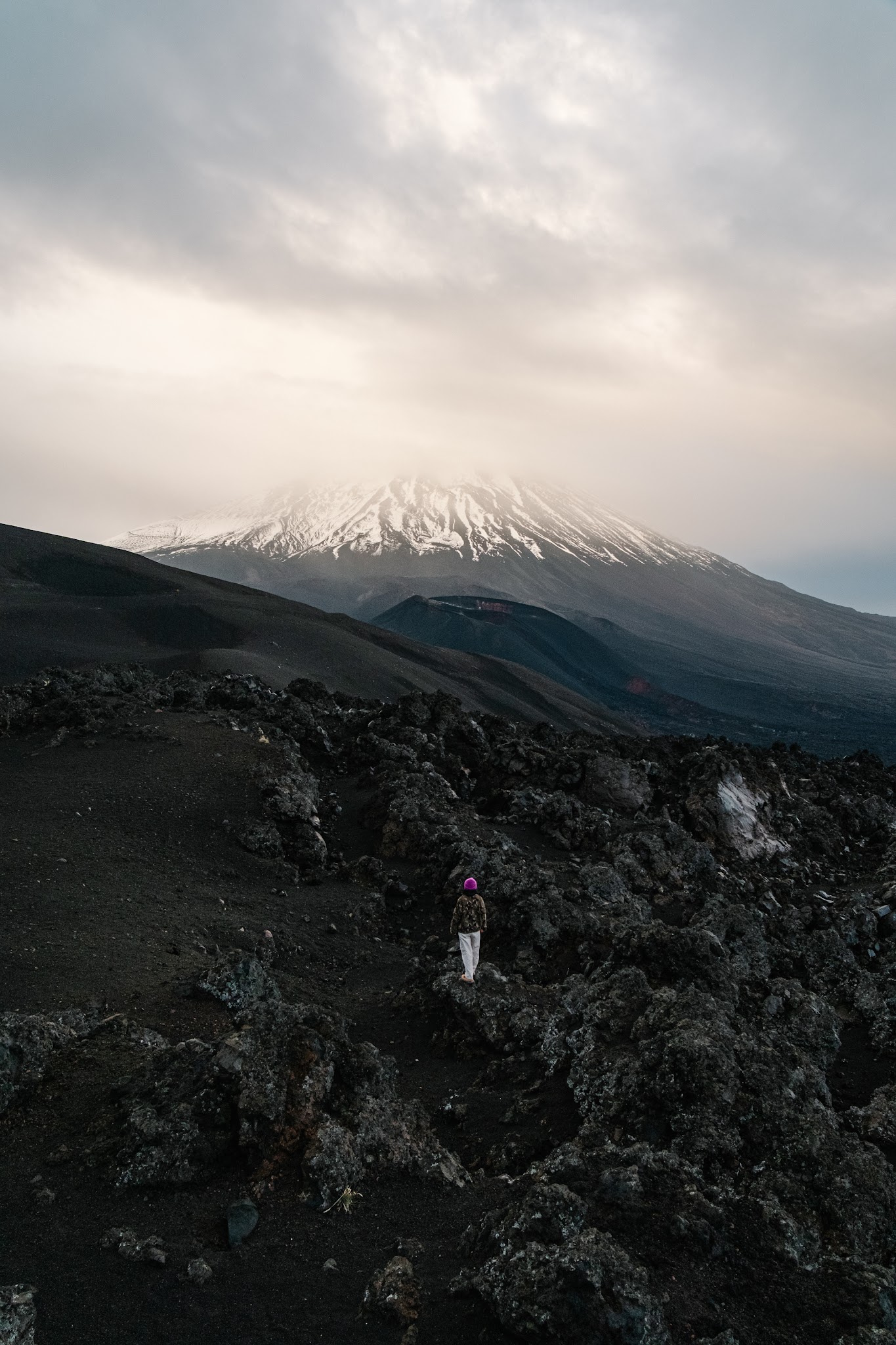
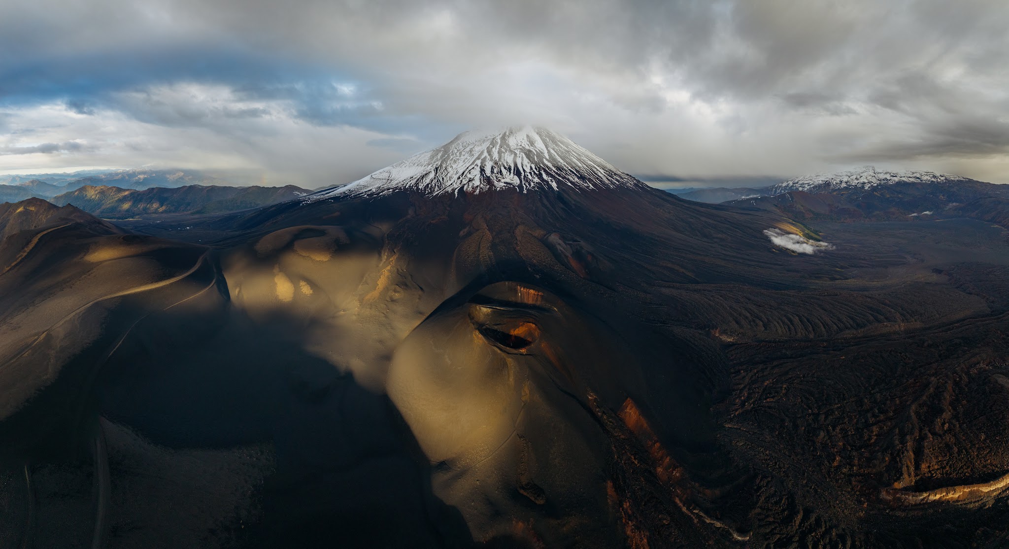
From the wooden platform, we overlooked an immense landscape of black lava, volcanic scoria and jagged terrain sculpted by past eruptions. Far below, we could clearly distinguish Cráter Navidad clinging to the side of Lonquimay Volcano like a scar still visible across the mountain.
Even without blue skies, the place genuinely felt like another planet.
So yes, the view must be even more spectacular on a clear day. But even beneath heavy clouds, the detour is more than worth it.
The Cráter Navidad hike
Practical information about the hike
Location: Malalcahuello-Nalcas National Reserve
Distance: Around 3.7 km round trip
Elevation gain: ± 225 metres
Duration: Approximately 2 hours
Difficulty: Moderate (but tough on the calves!)
Essential gear: A very good windbreaker and protective glasses to shield your eyes from blowing sand.
Main highlight: Walking directly across the scars left by the last major eruption of Lonquimay Volcano.
If there were only one hike to do during a road trip through this region, this would be the one.
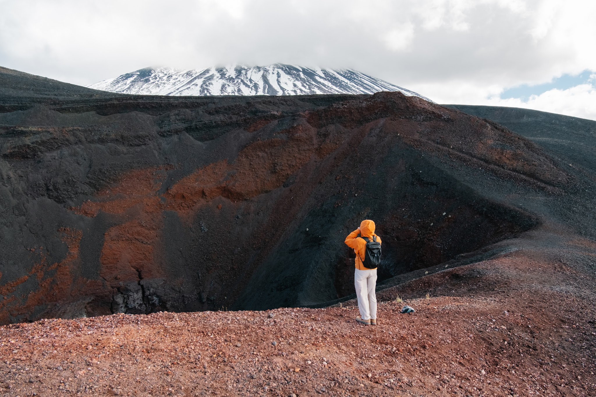
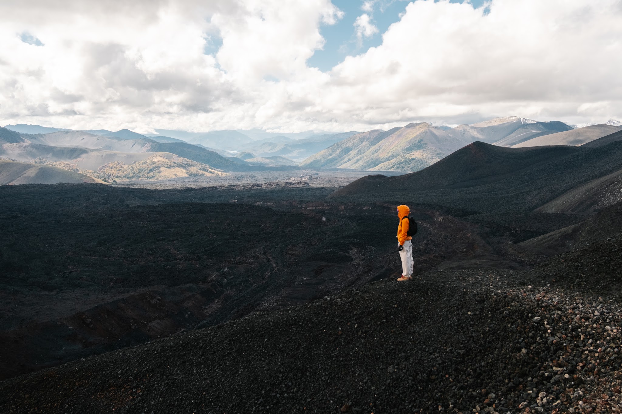
The scenery waiting for us that morning no longer felt earthly. We had quite literally stepped onto the Moon.
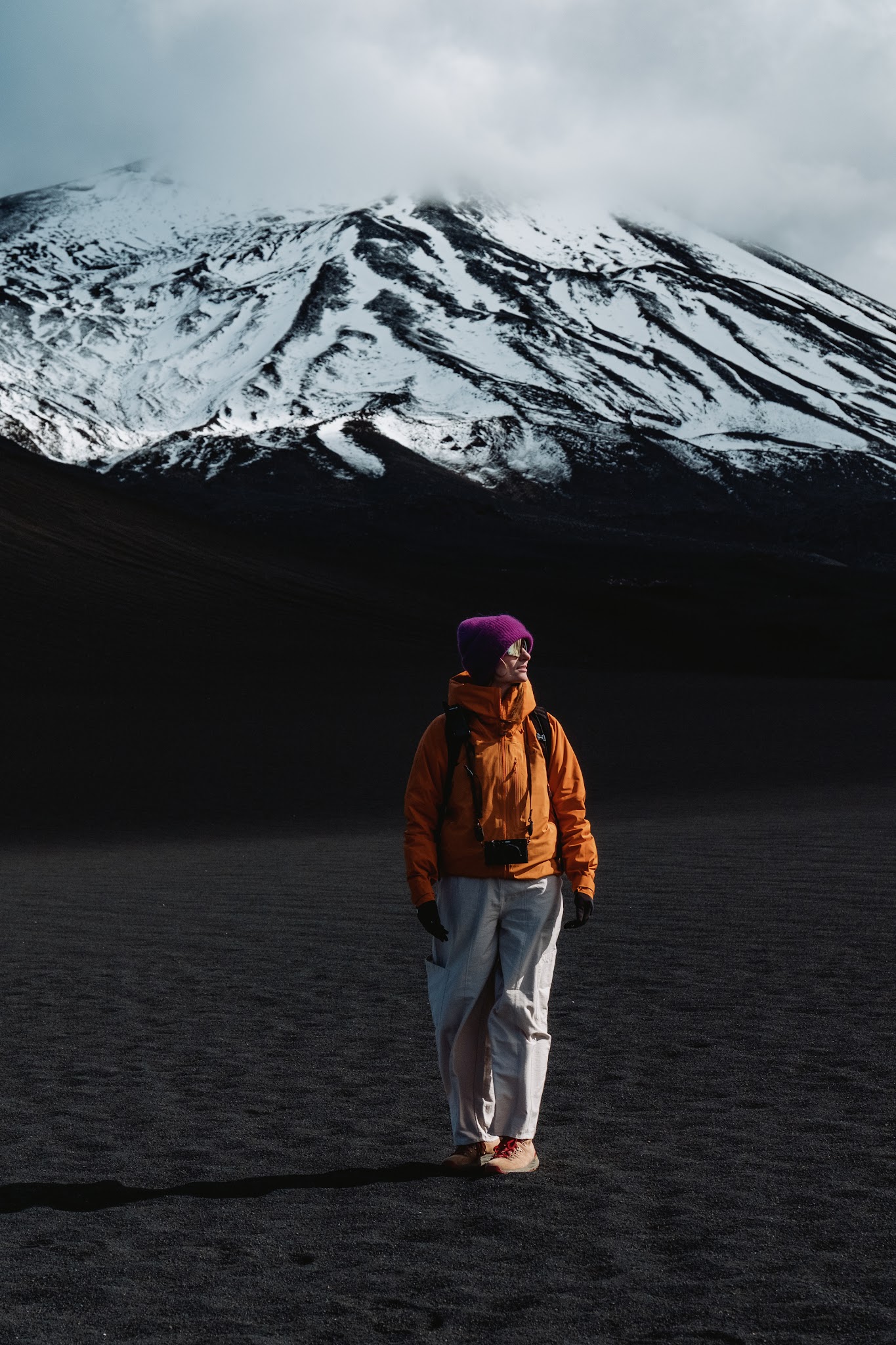
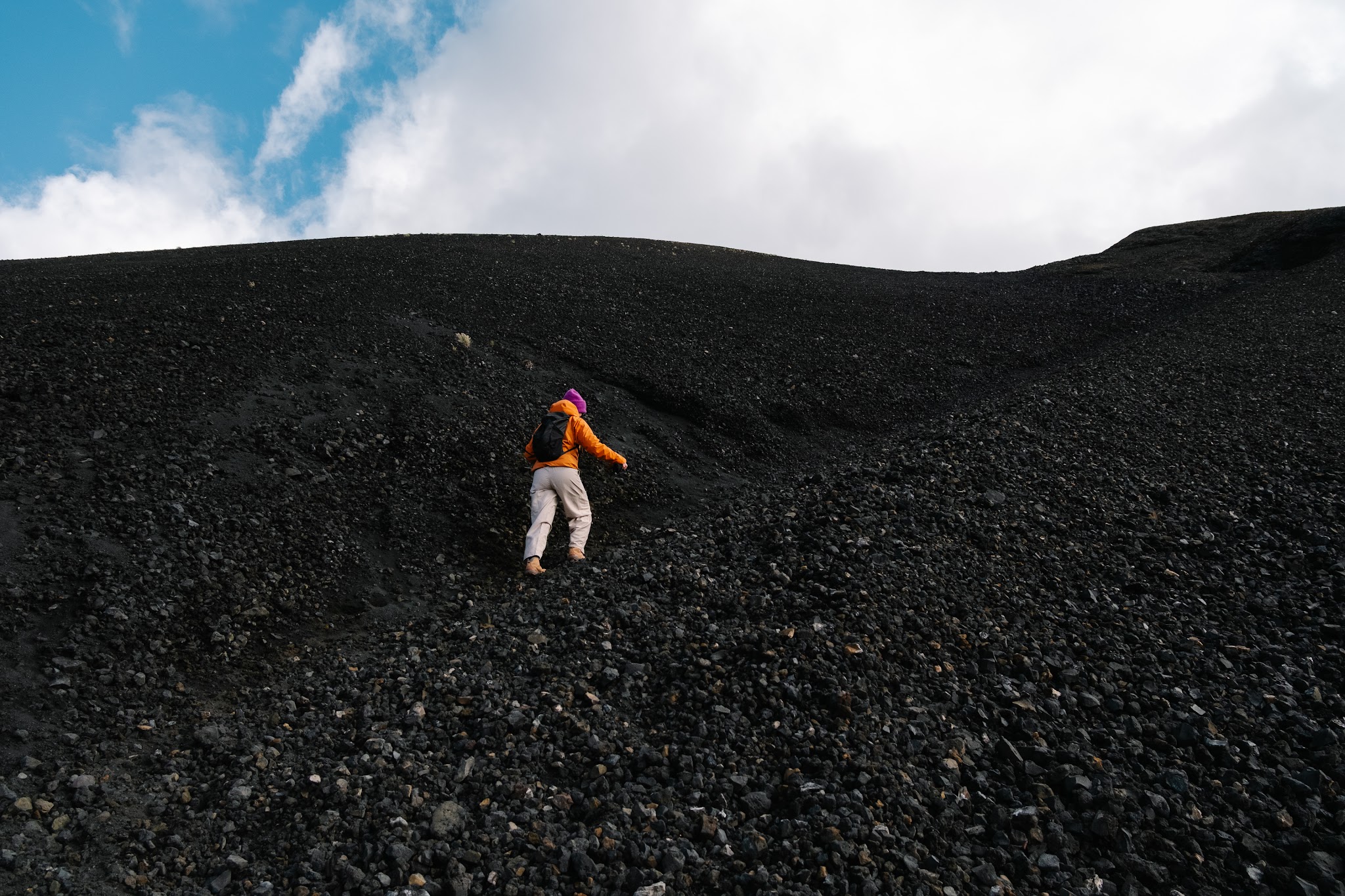
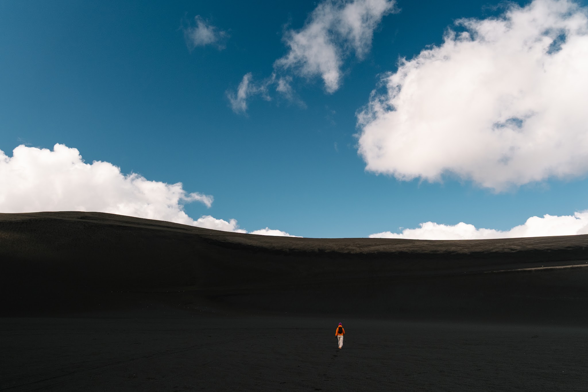
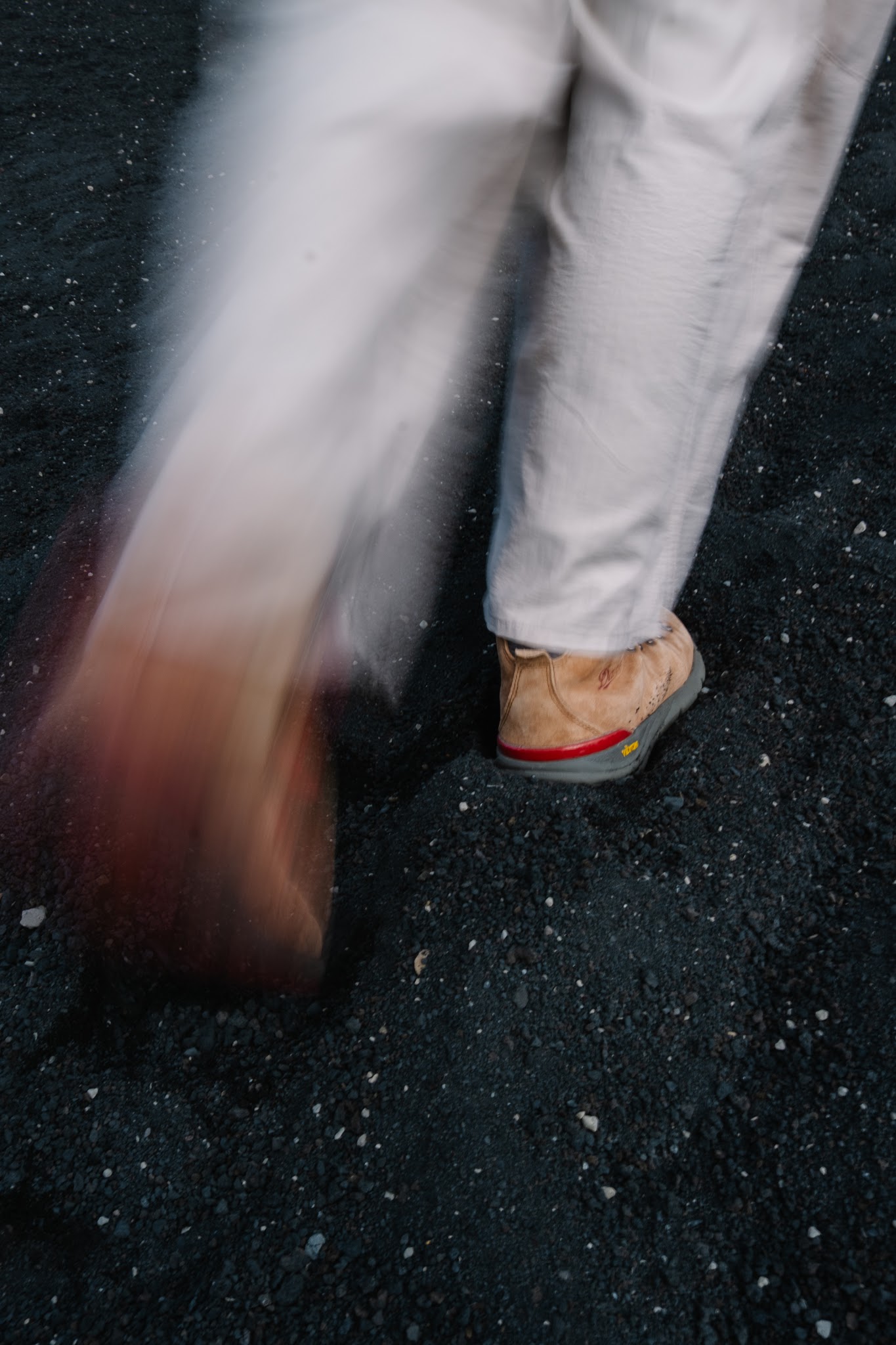
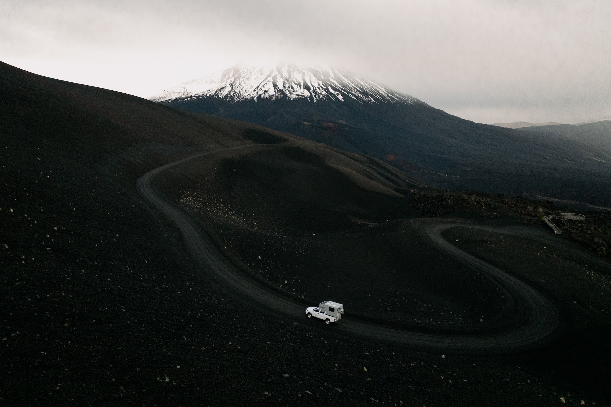
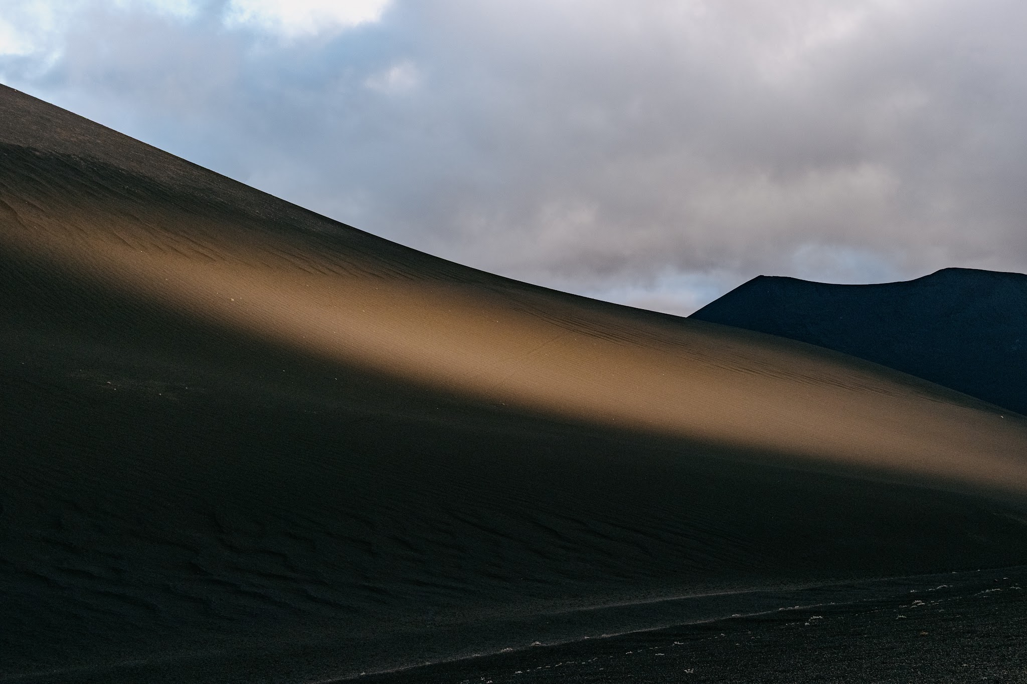
The trail begins by crossing an immense plain of jet-black volcanic scoria, a mineral desert where vegetation simply does not exist. Then the climb starts through a mixture of volcanic sand and small porous rocks constantly slipping beneath your shoes. Your calves begin burning almost instantly.
What strikes you the most up there is the dramatic atmosphere. The silence feels heavy, broken only by a violent and perfectly straight katabatic wind. The whistling was so intense that, in order to coordinate our shots without screaming at each other, we ended up pulling out our walkie-talkies. Communicating by radio on the side of a volcano instantly gave the hike the feeling of a scientific expedition.
The scars of 1988
Cráter Navidad – literally “Christmas Crater” – carries this poetic name for a very specific reason: it was born on December 25th, 1988.
That day, a new eruptive vent tore open on the slopes of Lonquimay Volcano. For more than thirteen months, the Earth spewed millions of cubic metres of lava and a continuous plume of ash, permanently reshaping the valley’s topography.
More than thirty years later, the landscape still looks frozen in time. The scars feel fresh, the lava flows appear as though they solidified only yesterday.
Travelling here in autumn, completely outside the tourist season, added an almost mystical dimension to the experience. We were entirely alone. Not a single person, no engine noise, no other hikers. Several times, we stopped simply to stare at that endless black landscape, with the exhilarating and slightly privileged feeling of having the entire mountain to ourselves.
The clash of elements: from a fiery desert to five-star toilets
On the way back, slightly frozen after hours battling the wind and lava fields, we made a stop at Valle Corralco Hotel & Spa.
And honestly, let’s not pretend we walked into this beautiful hotel at the foot of Lonquimay Volcano purely for the scenery. Camper life also comes with very practical logistical realities, and the urgency of the moment could be summed up in one extremely simple mission: finding a toilet. Fast.
The “emergency bathroom break” had become absolutely critical. And if you’re going to handle that situation, you might as well do it in luxury.
Mission accomplished.
We settled at the hotel bar and ordered a coffee and a steaming tea, with a completely unobstructed view over the mountains and volcanic slopes. And after spending several hours fighting the freezing winds of Cráter Navidad, that moment honestly felt like a reward.
One useful thing to know if you’re travelling through the region out of season: by the end of April, many cafés, restaurants and tourist spots have already closed for the shoulder season until they reopen for the ski season. At that time, Valle Corralco was one of the very few places still open nearby where you could warm up with a drink or grab something to eat after a hike.
Sitting there, we realized something fascinating: in this region dominated by monsters of fire, water is actually everywhere. Beneath our feet, the Earth heats underground water reserves, while above ground, icy rivers flow down from glaciers to feed the surrounding parks.
A fascinating duality that we were about to experience firsthand the very next day, when we would finally dive into the region’s thermal springs.
Day 3 – Mapuche legends, XXL empanadas and a thermal springs plan B
Practical information for the day
Salto de la Princesa: Extremely easy access (only 20 metres from the parking area)
Laguna Blanca: Best accessed on foot (allow around 4 hours round trip); the track is unsuitable for large vehicles
Termas de Malleco: Water temperature around 38°C – Negotiated price: 29,000 CLP for two people
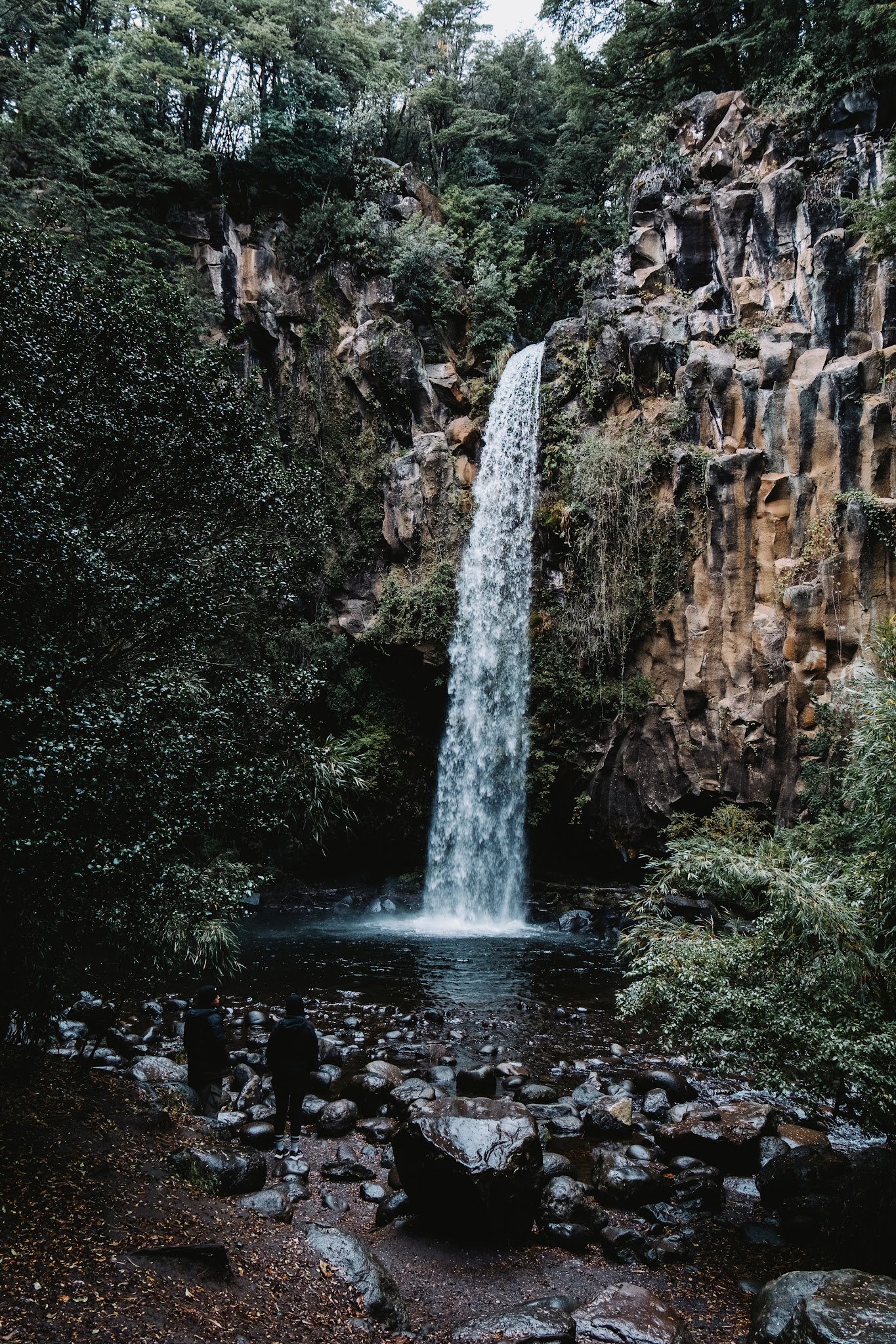
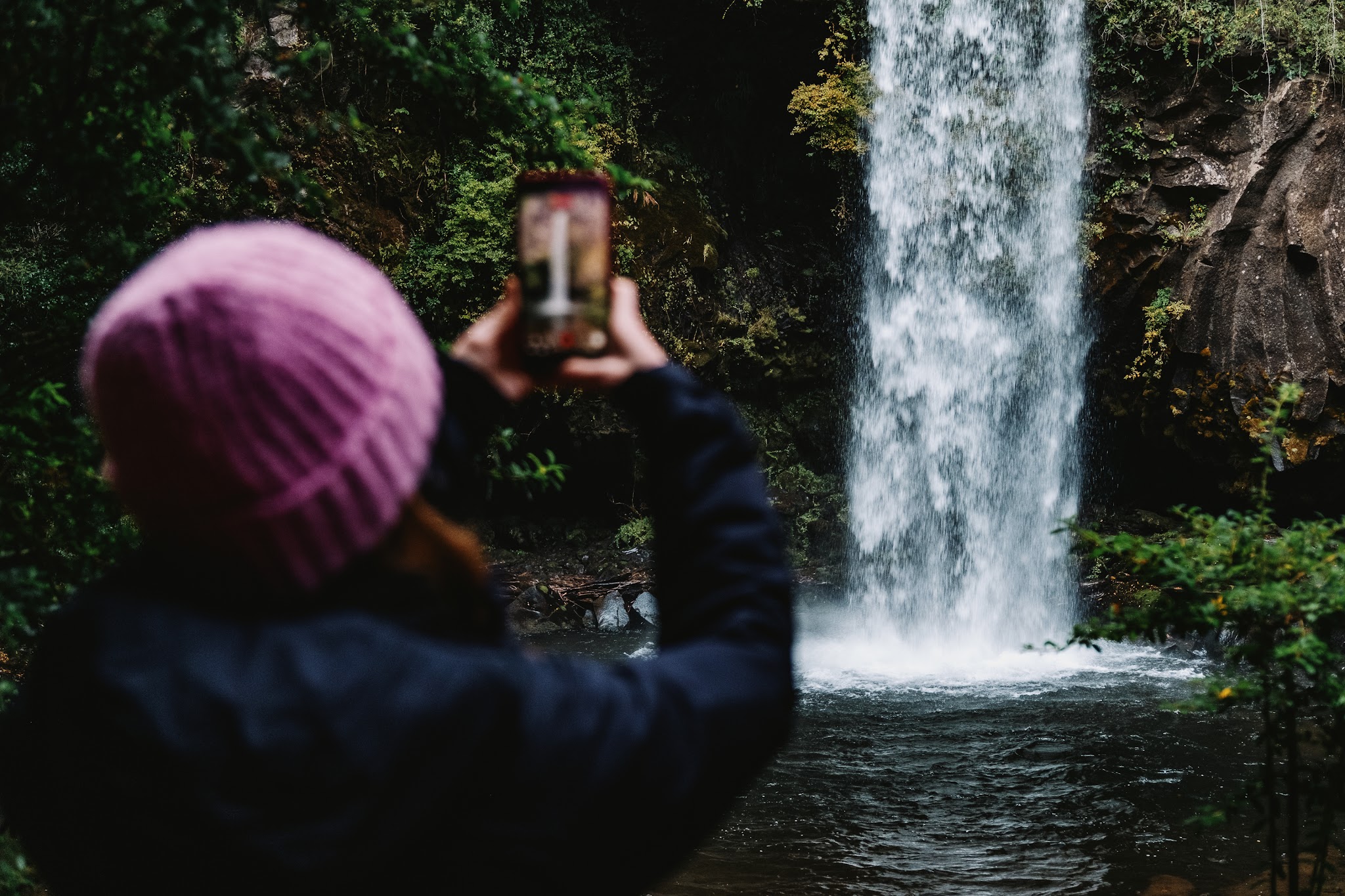
Our first stop of the morning brought us to Salto de la Princesa – the “Princess Waterfall.”
And honestly, access could not be easier. You simply park the camper, walk barely 20 metres, and suddenly find yourself facing this massive waterfall crashing into a volcanic gorge below. No need for a long forest hike this time.
Of course, since this was Chilean autumn, there was absolutely no question of jumping into the freezing water. Instead, we admired the scenery bundled up in our puffer jackets and beanies.
The atmosphere of the place is also deeply tied to local history and legend. According to Mapuche tradition, a princess deeply in love with a man her family forbade her to marry tried to escape her pursuers through the mountains. Cornered at the edge of the cliff, she chose to throw herself into the void. Locals still whisper that the waterfall’s waters continue mourning her story to this day.
Before getting back on the road, it was impossible to ignore the tiny wooden cabin set up in the parking area. A woman was selling local specialties there, and we ended up buying some unforgettable empanadas. XXL-sized, ridiculously generous, and pulled straight from the oven just as we arrived.
Absolutely incredible.
A scare on the Laguna Blanca track
With our stomachs happily full, we decided to head toward what looked like a stunning objective on paper: Laguna Blanca.
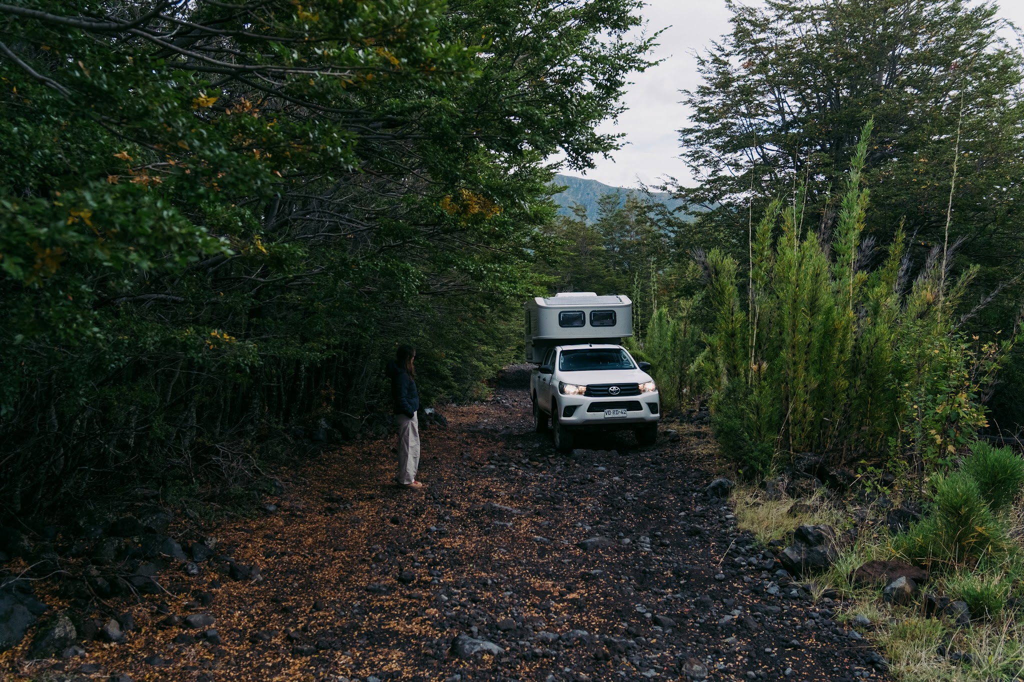
Travel guides mentioned that the lagoon was also accessible by vehicle, so, feeling confident, we headed onto the gravel track.
Except the road quickly transformed into an extremely narrow and chaotic forest trail.
Travelling with a house on wheels is wonderfully comfortable, but it also means dealing with a certain vehicle size – especially height-wise. And inside this Andean forest, the vegetation suddenly became dangerously tight. Low tree branches started scraping along the roof and sides of the camper. One wrong move and the brand-new camper shell would have been scratched or damaged instantly.
As panic slowly started creeping in, we made the wisest decision possible after barely one or two kilometres: turn around.
Which, in itself, became a balancing act worthy of a circus performance considering how narrow the trail was.
So no, we never actually saw Laguna Blanca that day. But honestly, that strategic retreat is fully part of learning vanlife.
Our friendly advice: don’t make the same mistake we did. If you want to visit Laguna Blanca, leave your camper safely parked at the official reserve entrance and do the four-hour hike on foot after paying the entrance fee.
Your vehicle bodywork will thank you.
Termas de Malleco: the art of autumn negotiation
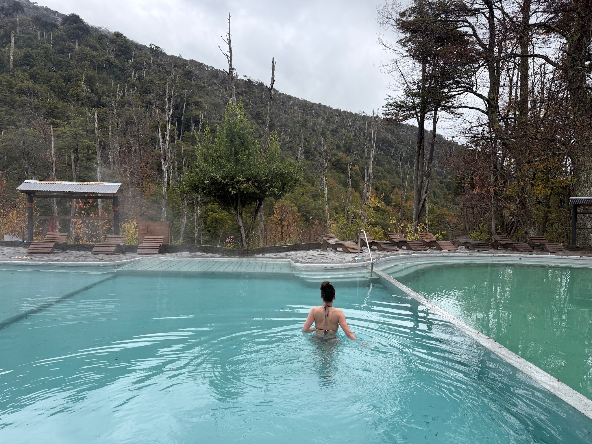
Still slightly shaken after that stressful detour, and with our original plan abandoned, we decided to fall back on a guaranteed comfort option: the Termas de Malleco.
Araucanía is one of the planet’s most intense geothermal regions thanks to its hyperactive volcanic neighbours: Llaima, Lonquimay and Tolhuaca. This underground pressure cooker creates dozens of natural hot springs scattered throughout the region.
When we arrived, though, we faced a small logistical dilemma.
At the entrance, the thermal complex only offered mandatory full-day passes. The problem is that in naturally sulphuric water heated to around 38°C, it is medically recommended not to stay immersed for more than 20 to 25 minutes at a time.
In summer, that’s perfect: you get out, relax on a sun lounger, read a book, warm up in the sunshine, then head back into the water. Except here… it was raining and absolutely freezing.
Sitting outside in a swimsuit on a soaked deck chair during an autumn afternoon? Absolutely not.
So we decided to try our luck. We explained the situation to the woman at reception:
“Would it be possible for us to pay for just one entry for the two of us since we’ll only stay about an hour?”
Understanding smile. She agreed. And just like that, we ended up paying an incredibly reasonable 29,000 CLP (around €28) for both of us.
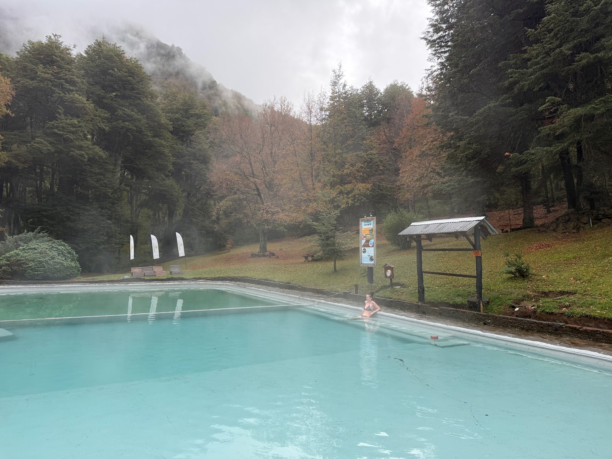
The place was completely empty – an almost magical privilege.
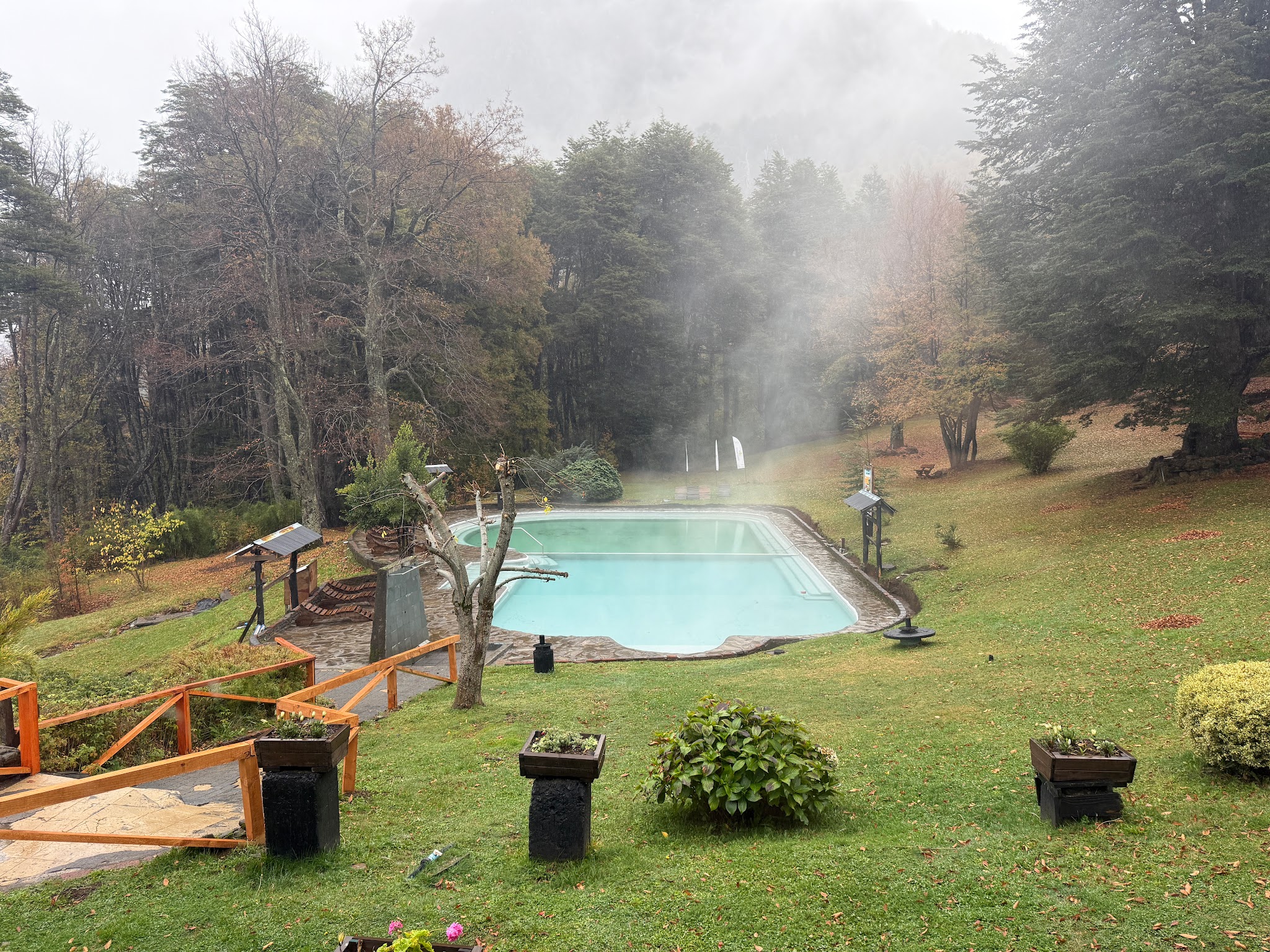
The sensory contrast was honestly insane: submerged up to our necks in soothing 38°C volcanic water while our faces were whipped by cold air and fine rain falling over the surrounding mountains.
We savoured every second of that suspended moment, feeling completely reset.
Pure happiness before heading back to the warmth of the camper heating system.
Day 4 – Conguillío National Park
Practical information about the hike
National park: Parque Nacional Conguillío
Trail: Sierra Nevada
Distance: 14 km round trip
Elevation gain: ± 700 metres
Duration: 5 to 7 hours
Difficulty: Moderate (the climb is gradual, but the distance definitely starts to be felt in your legs)
Main highlight: Continuous and spectacular views of Llaima Volcano and the surrounding volcanic landscapes
Entrance fee: 14,200 CLP per person for foreign visitors
Important: The park is closed on Mondays and tickets must be purchased online in advance
What to bring: Windbreaker, warm layers, water and lunch
If there’s one national park you absolutely should not miss in the region, it’s Parque Nacional Conguillío. And honestly, our entrance into the park was nothing short of phenomenal.
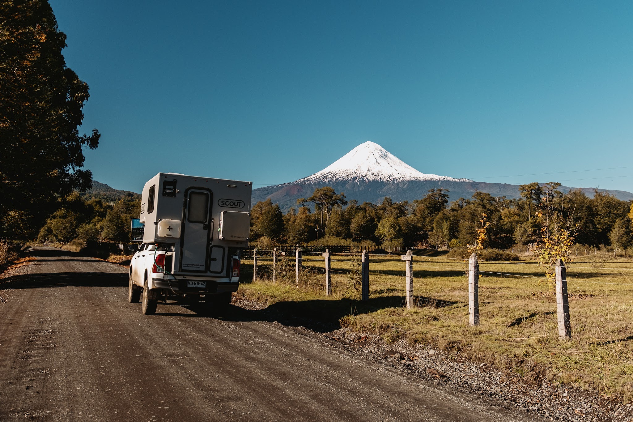
Picture the scene: we’re driving almost completely alone along a volcanic track when, suddenly, the immense Llaima Volcano rises on our right. Towering at 3,125 metres with its nearly perfect snow-covered cone, it instantly reminded us of Mount Fuji in Japan – a volcano we had absolutely loved photographing from every possible angle during our 2023 trip.
Seeing that same perfect silhouette emerging from the Chilean wilderness felt surreal.
The result? We stopped every ten metres to take photos.
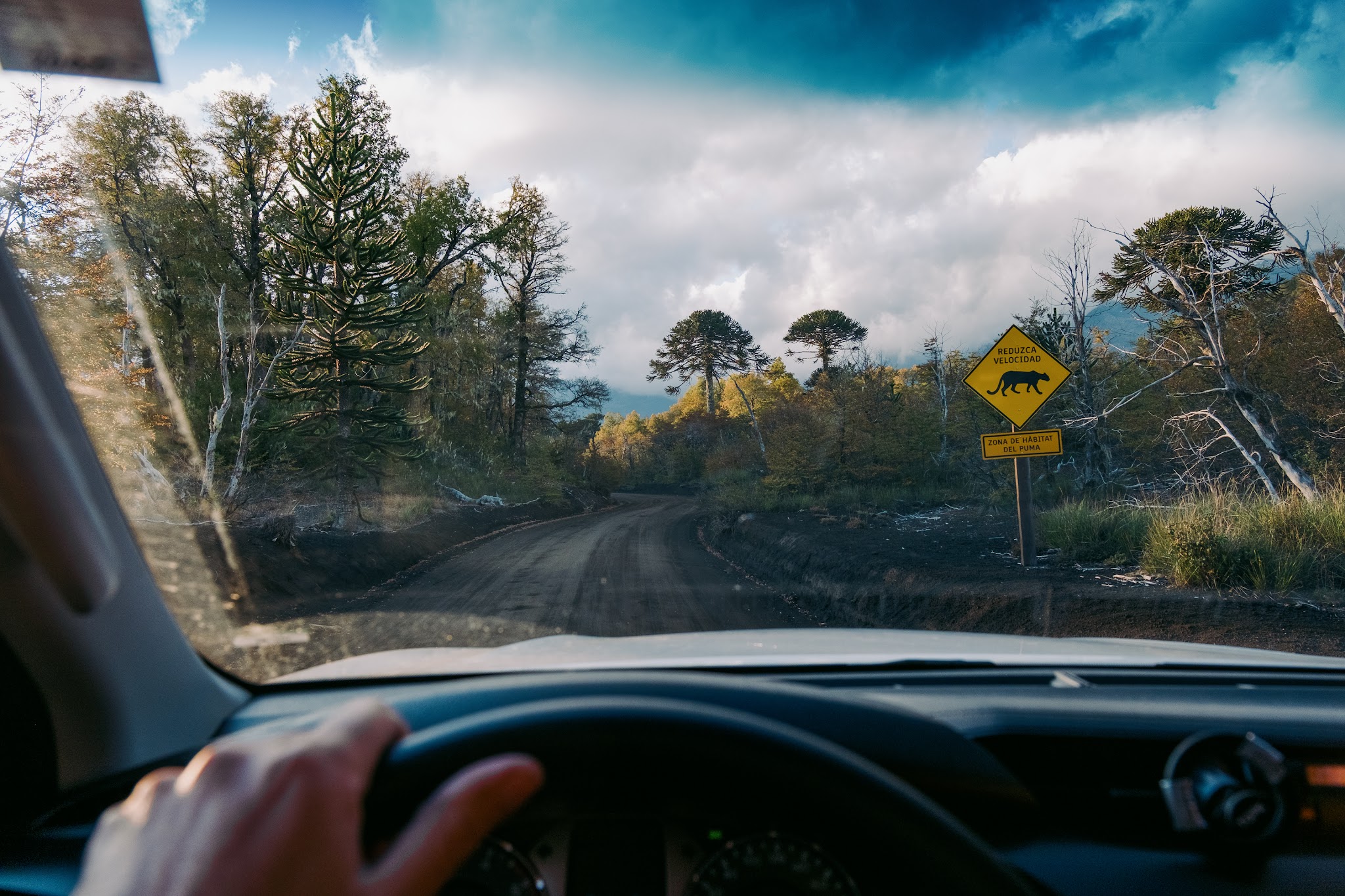
To make the adventure even more exciting, we passed a sign along the track that immediately set the tone: “You are entering puma territory.”
We scanned the forest edges with our hearts racing at the thought of spotting one of these magnificent felines. (Alright, let’s be honest: we didn’t see a single one. But the thrill was definitely there.)
Once we reached the trailhead parking area, it was finally time to lace up our hiking boots and hit the trail.
From T-shirts to beanies: a hike with a thousand moods
The beginning of the Sierra Nevada trail winds through a magnificent araucaria forest. We hiked to the rhythmic drumming of woodpeckers enthusiastically hammering away at the ancient tree trunks.
Then came the magical moment.
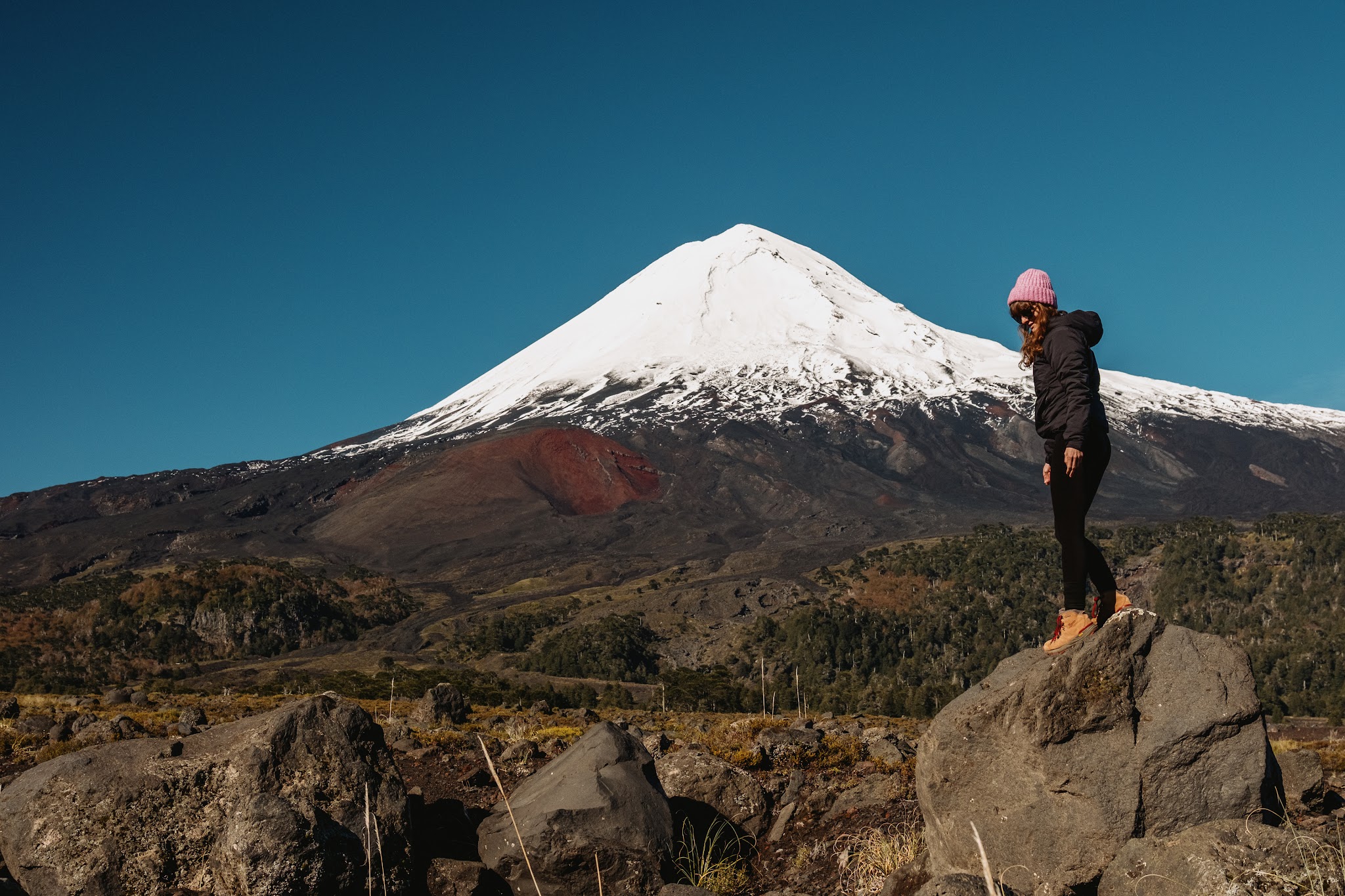
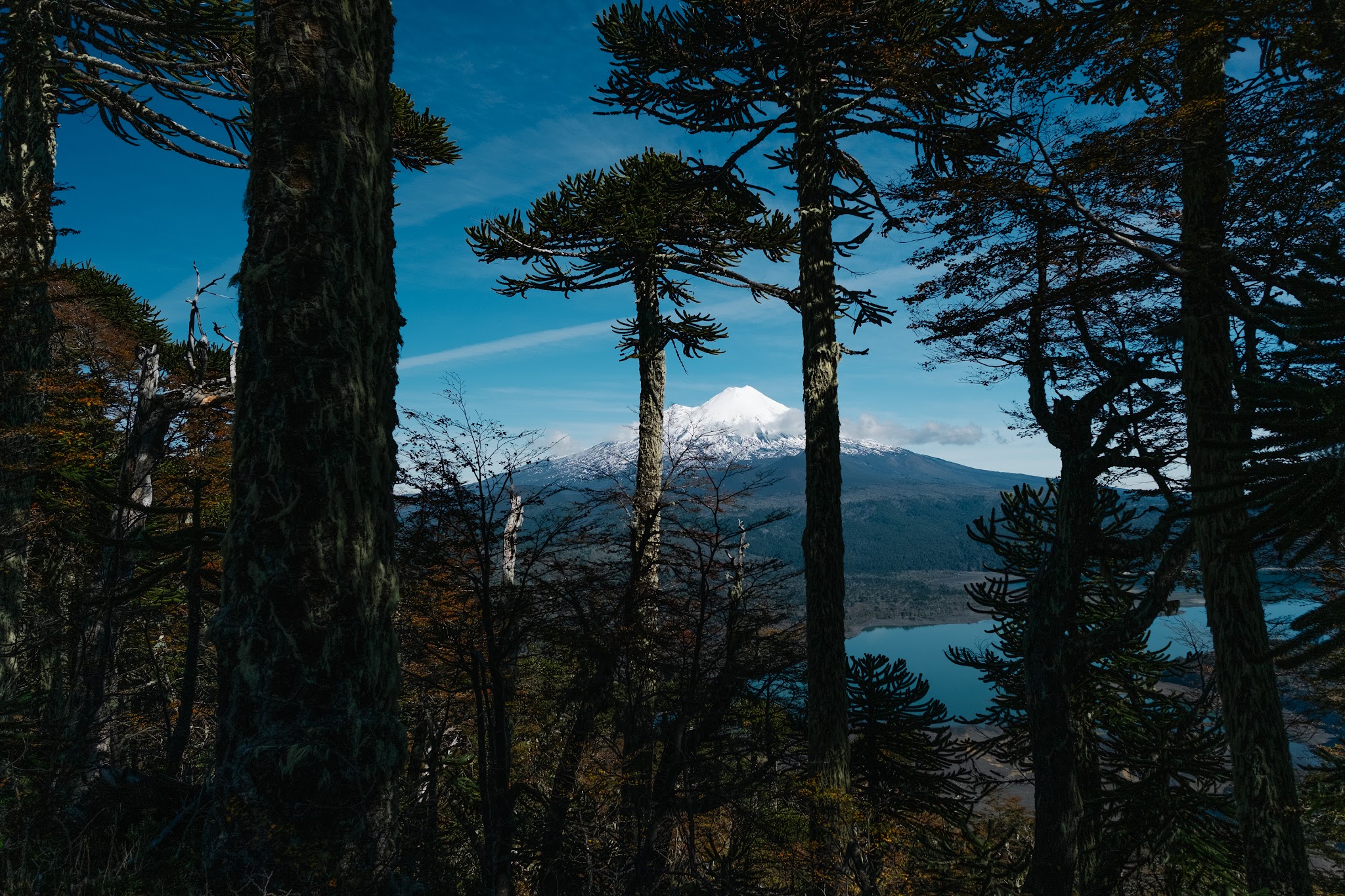
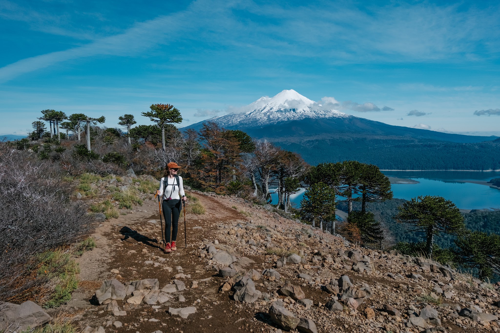
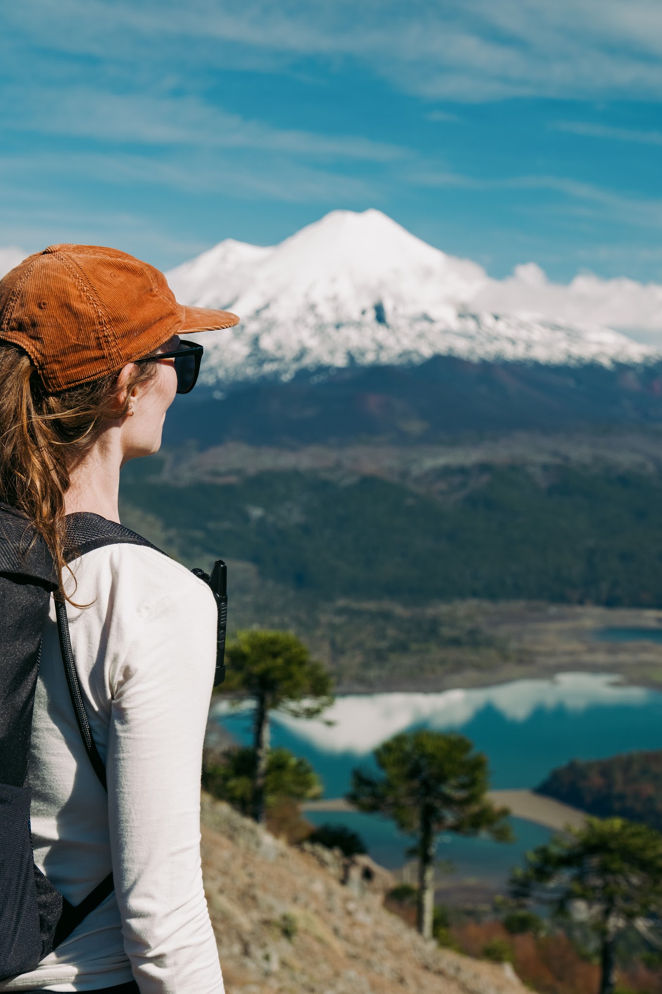
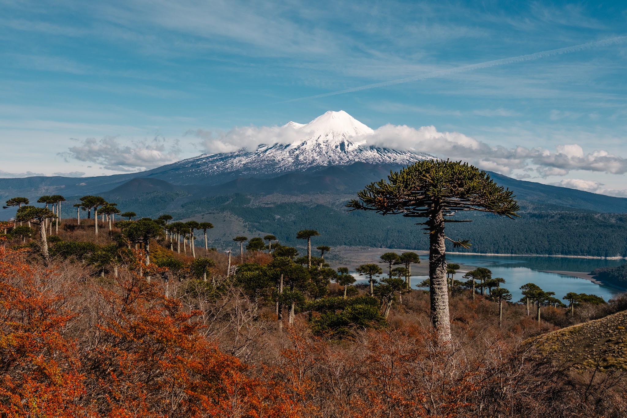
We finally emerged above the forest line and reached higher elevation beneath brilliant sunshine. Llaima Volcano suddenly revealed itself completely free of clouds.
At that exact moment, the weather became so warm that we took off our jackets and sweaters and finished the climb… in T-shirts.
Ahead of us, the scenery was breathtaking: the majestic volcano accompanied us throughout the ascent while large turquoise lakes shimmered far below.
But as we gradually approached the summit, the Andean wind reclaimed control and the temperature dropped quickly. We hurriedly put our jackets back on just before reaching the final viewpoint.
This natural balcony overlooking the crater is where most hikers gather. There were around thirty of us sitting there when, at the exact wrong moment, Llaima decided to start playing hide-and-seek behind the clouds again.
Perfect timing.
Still, we were incredibly grateful to have enjoyed the entire ascent under perfectly blue skies.
We unpacked our sandwiches. One thing is certain: even the world’s simplest lunch suddenly tastes gourmet when eaten in front of scenery this spectacular.
And despite the number of hikers at the summit, a very calm and respectful atmosphere floated through the viewpoint. Nobody disturbed anyone else.
We made our way back down to the parking lot and our camper with stars in our eyes.
This hike is absolutely magnificent, spectacular and still relatively accessible. We recommend it a thousand times over.
Exploring Conguillío beyond the hiking trails
Even though our legs were starting to seriously feel the effects of the Sierra Nevada hike, we had absolutely no desire to leave Parque Nacional Conguillío.
So we climbed back into the 4×4 and continued exploring the park’s volcanic tracks.
And honestly, that’s also what makes Conguillío so fascinating: even without hiking, every corner feels like driving through a movie set.
We headed toward Laguna Verde, one of the strangest and most photogenic places in the park.
The landscape there feels completely unreal.
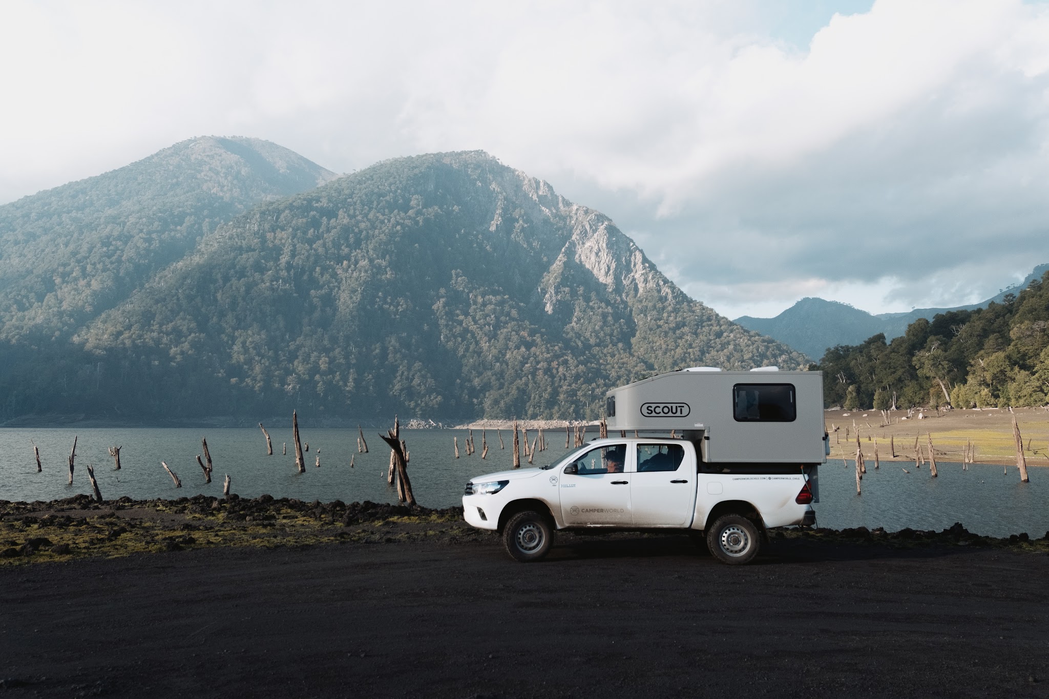
A green-tinted lagoon surrounded by black volcanic sand, with dead tree trunks frozen in the middle of the water like the remains of a drowned ancient world. Some still emerge halfway above the surface, twisted and bleached by time and harsh weather, creating an almost supernatural atmosphere.
The place carried something deeply unusual. A silent, raw, almost mystical feeling.
And the more we explored, the more we understood how much this park is a territory permanently shaped by volcanoes.
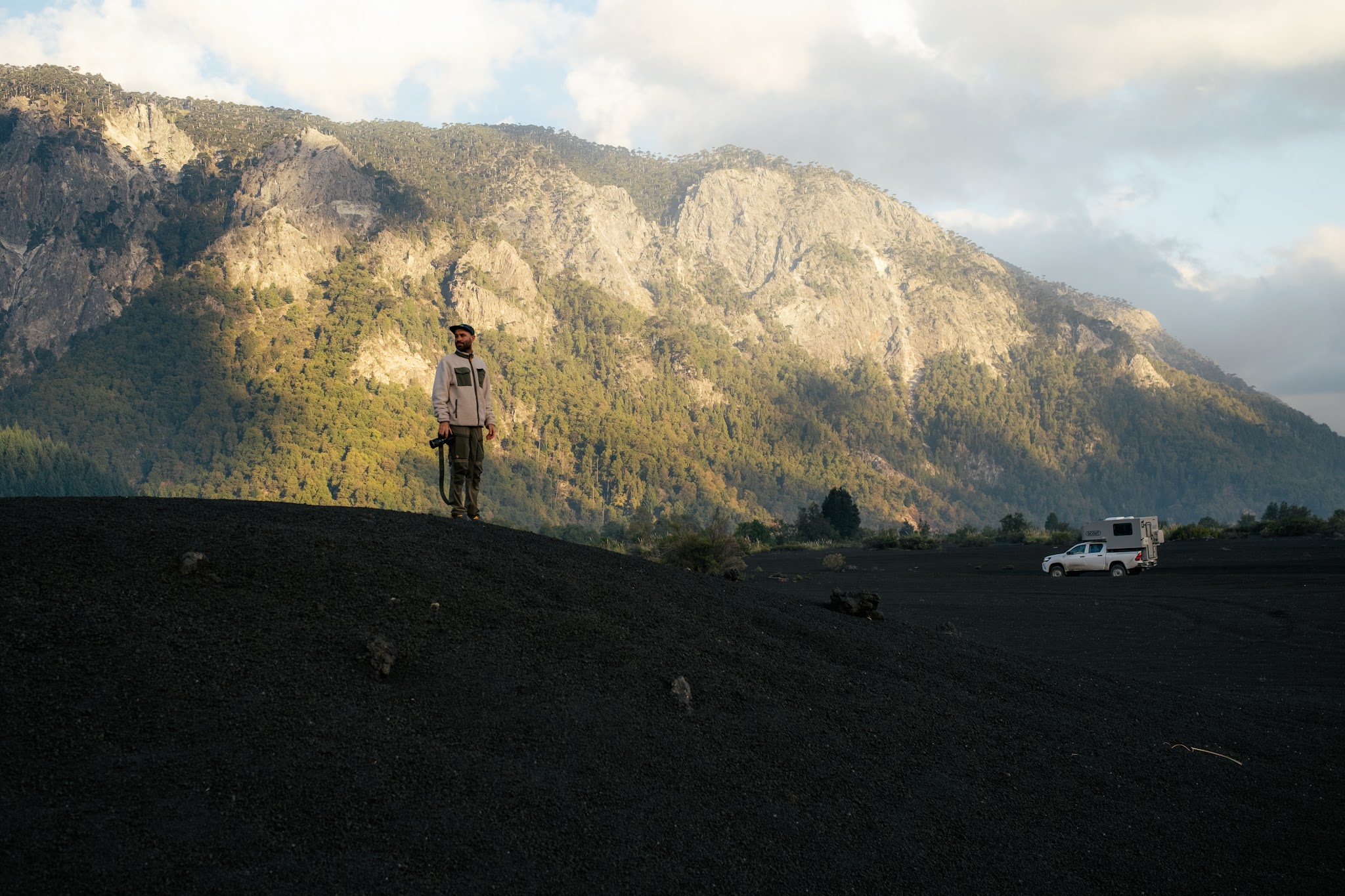
The volcanic sand formed true black dunes into which our feet slightly sank at every step. All around us, ancient lava flows told the story of Llaima Volcano’s successive eruptions, whose activity has profoundly transformed Conguillío’s landscapes over centuries.
That contrast between volcanic destruction and the slow return of life is precisely what makes the park so fascinating.
Between lava fields, lagoons, araucaria forests and dead trees still standing in some areas, you sometimes feel as though you are observing a landscape permanently rebuilding itself.
One of the greatest advantages of exploring the park in a camper – especially with a vehicle adapted to volcanic tracks – is the complete freedom to stop whenever a landscape catches your eye.
And in Conguillío, that happens literally every five metres.
So we spent several hours alternating between spontaneous roadside stops, photo sessions beside the lagoons, shots of the volcano disappearing into the clouds and quiet moments simply sitting in the black sand, listening to the silence of the park.
The kind of place where you eventually forget what time it is altogether.
Days 5 to 7 – Cuenca Andina: immersion into another side of Chile
Practical information about this stage
Region: Maule
Location: Cuenca Andina
Unique feature: A private reserve protected forever through a legal framework preventing any future industrial exploitation
Ideal duration: At least 2 full days to truly absorb the atmosphere of the place
Activities: Hiking, wildlife and flora observation, crystal-clear rivers and immersion in Chilean Mediterranean forest
Why go there? To discover a more secret, wilder and far less touristy side of Chile
Good to know: Camping is possible directly inside the reserve
As we left the volcanic landscapes of Araucanía behind us, the atmosphere shifted almost without warning.
The large snow-covered cones gradually gave way to softer, more Mediterranean valleys. The araucarias slowly disappeared from the scenery, replaced by different vegetation – drier, more discreet somehow.
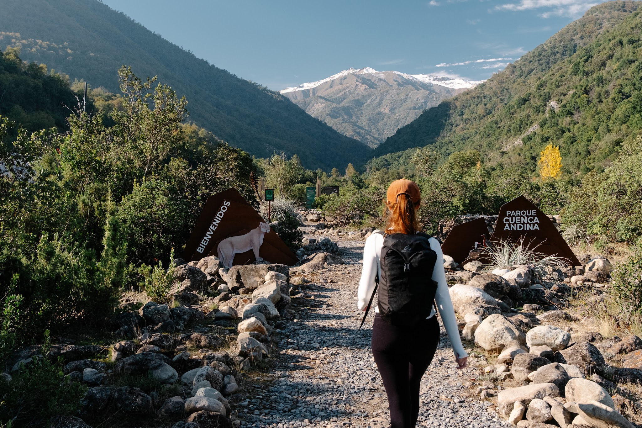
Our destination was Cuenca Andina.
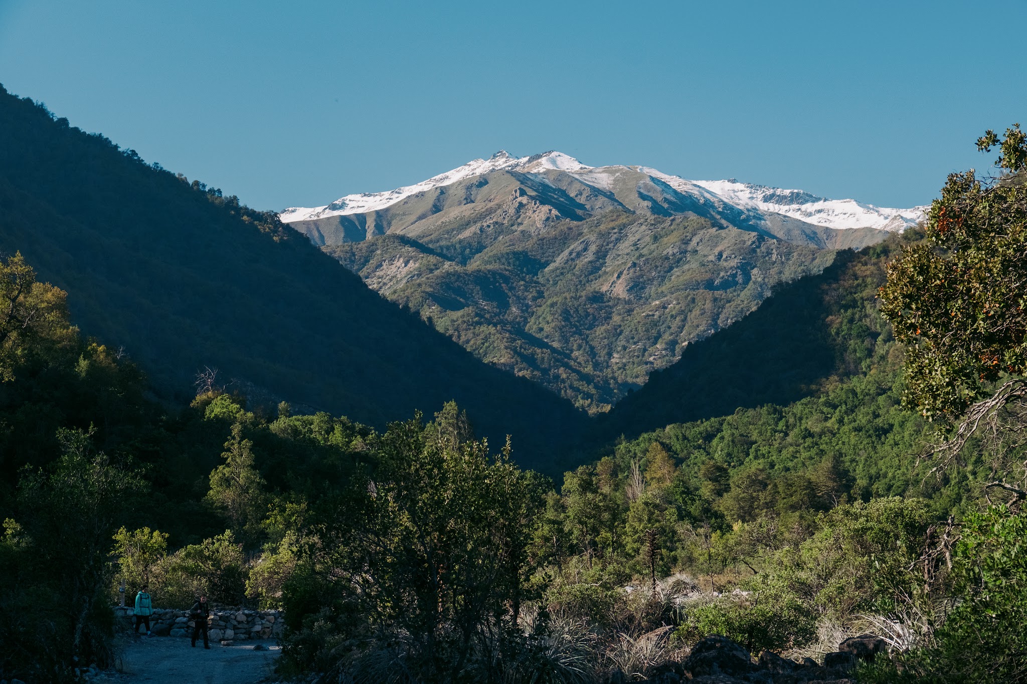
Nestled in the Maule region, several hours south of Santiago, this private reserve would become our final stop before returning to the capital and bringing this road trip to an end.
And very quickly, one thing became obvious: Cuenca Andina does not resemble most Chilean nature reserves.
There are no massive tourist infrastructures, no overcrowded viewpoints, no giant hotels planted in the middle of the mountains. Here, the landscape exists in service of an incredibly ambitious conservation project.
More than 12,000 hectares of raw wilderness are protected here forever.
Thanks to a pioneering legal framework, the territory has been permanently safeguarded: no industrial exploitation – mining, forestry or hydroelectric development – will ever be allowed, even if ownership of the land changes in the future.
A true gift to the generations that will come after us.

Learning from the land
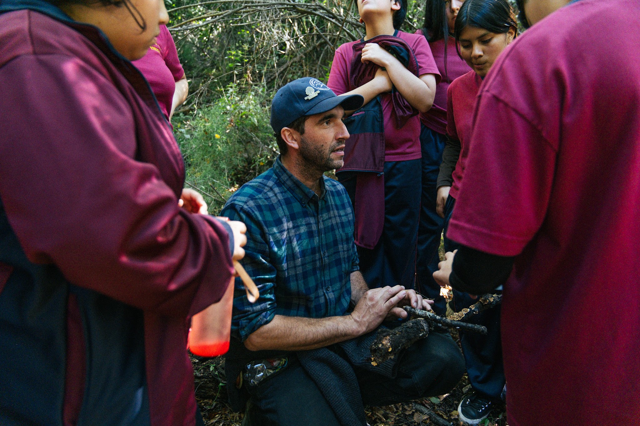
Our first day immersed us directly into the philosophy of the place through an educational outing that revealed a lot about the spirit of the reserve.
Alongside around twenty local children, we shared their laughter and amazement as they explored the landscape. For some of them, it was the very first time they had ever ventured into the mountains of their own country.
Watching this environmental awareness being passed on to the younger local generation immediately gave our journey a very particular meaning.
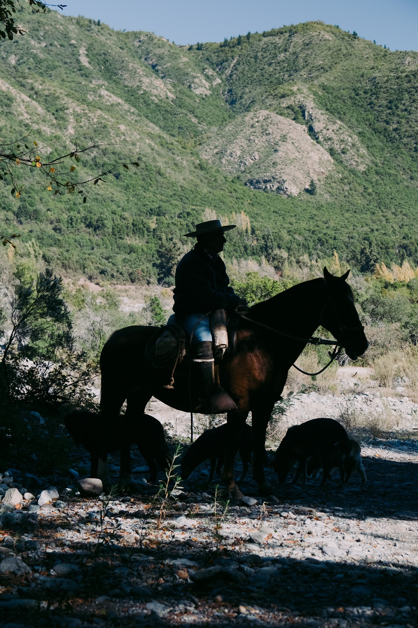
Further along the trail, we also crossed paths with several arrieros – the iconic horsemen of the Chilean Andes who still live and work according to the rhythm of the mountains.
There were four of them riding side by side, wearing large cowboy hats, thick ponchos and enormous metal spurs clinking with every movement. The scene looked as though it belonged to another century.
And yet here, this culture is still very much alive.
Inside Cuenca Andina, the arrieros continue moving livestock between seasonal pastures across the valleys, maintaining an ancient and deeply rooted relationship with the land.
The contrast with other forms of land exploitation found elsewhere in Chile is striking.
Here, there are no mines, no industrial tree plantations, no gigantic infrastructure projects reshaping entire landscapes. The logic is completely different: allowing nature to exist, preserving ecological balances and maintaining small-scale traditional practices still capable of coexisting with the living world.
Watching those horsemen slowly crossing the protected valley almost felt like witnessing another way of inhabiting the Earth.
A slower, humbler relationship, where humans do not try to completely dominate the territory but instead continue living alongside it.

Alone in the world
The next day, we reunited with Pedro and Juan for one final real adventure before heading back toward Santiago.
And honestly, what better way to end this road trip than by exploring one of the reserve’s more remote areas together?
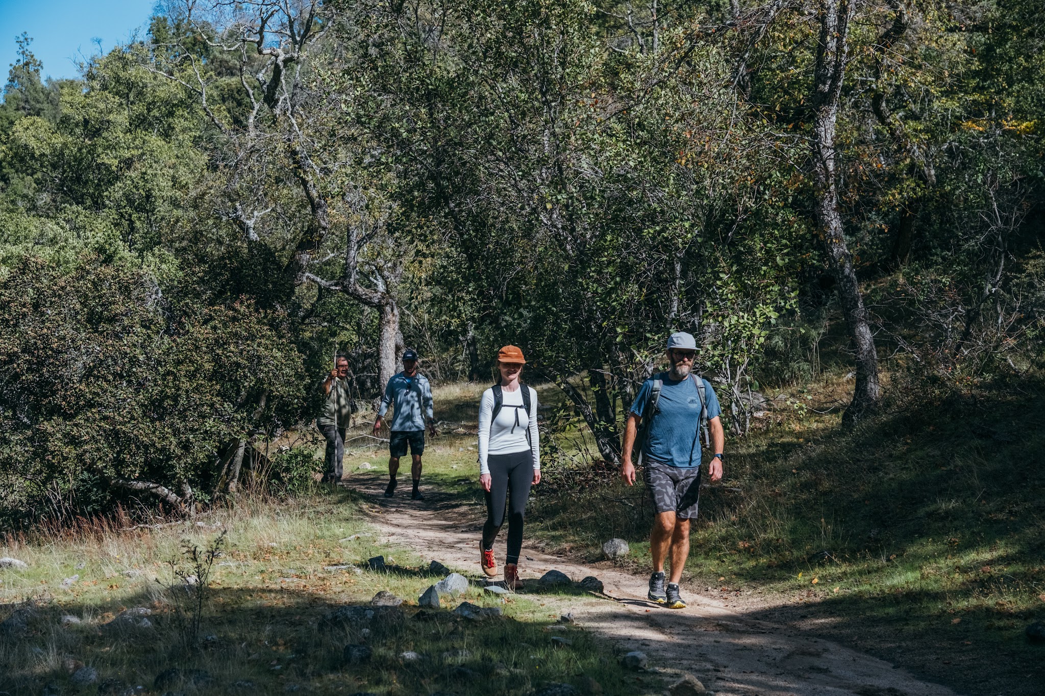
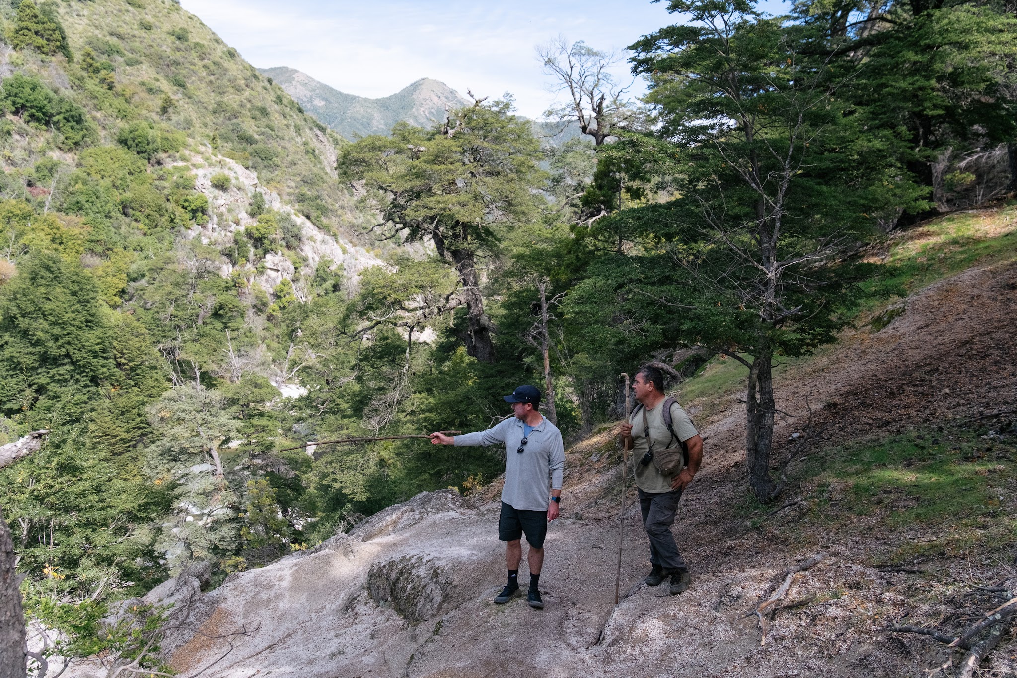
Very quickly, the feeling of isolation became total.
No phone signal.No background noise.Not a single visible structure for kilometres around.
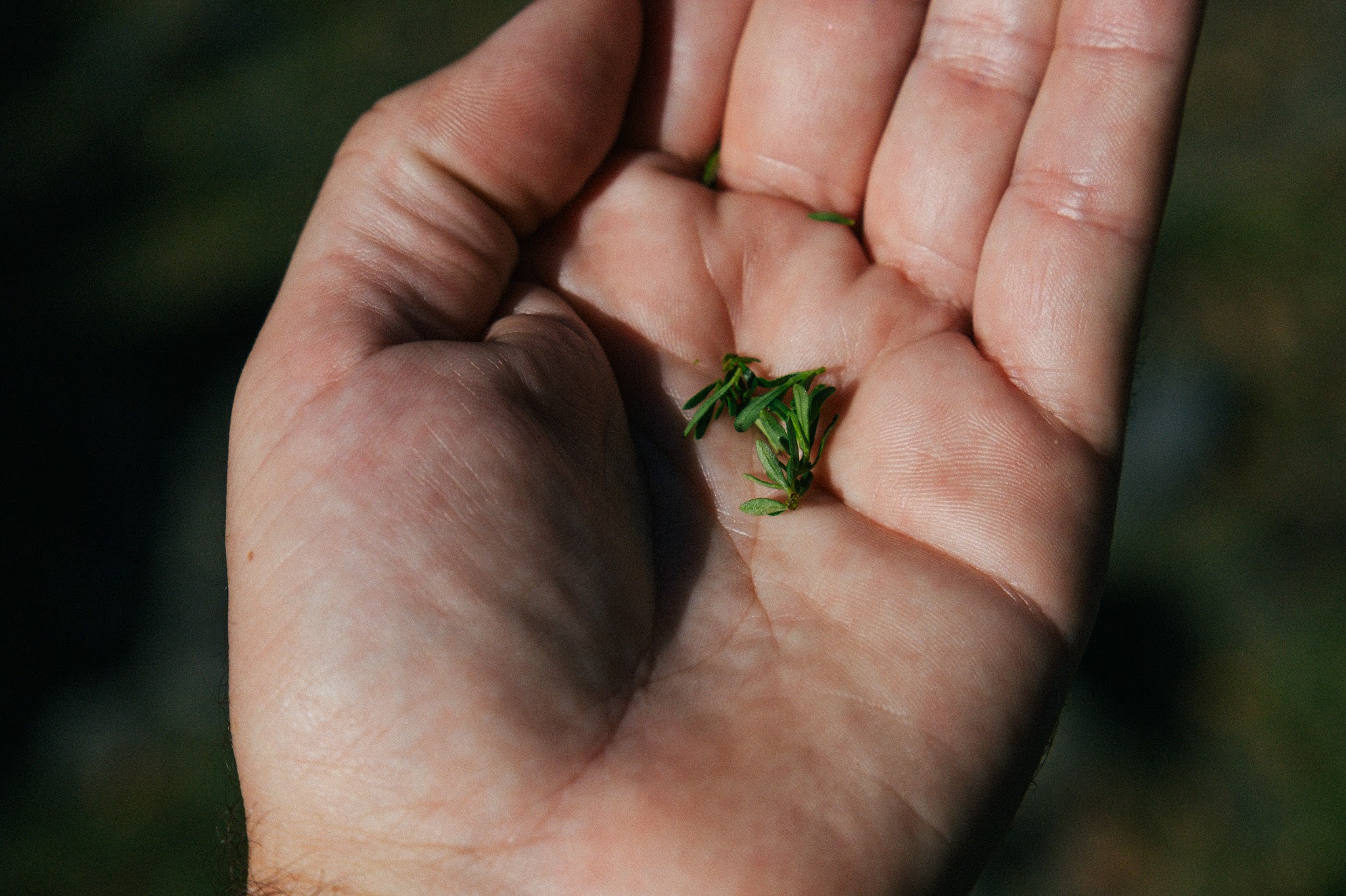
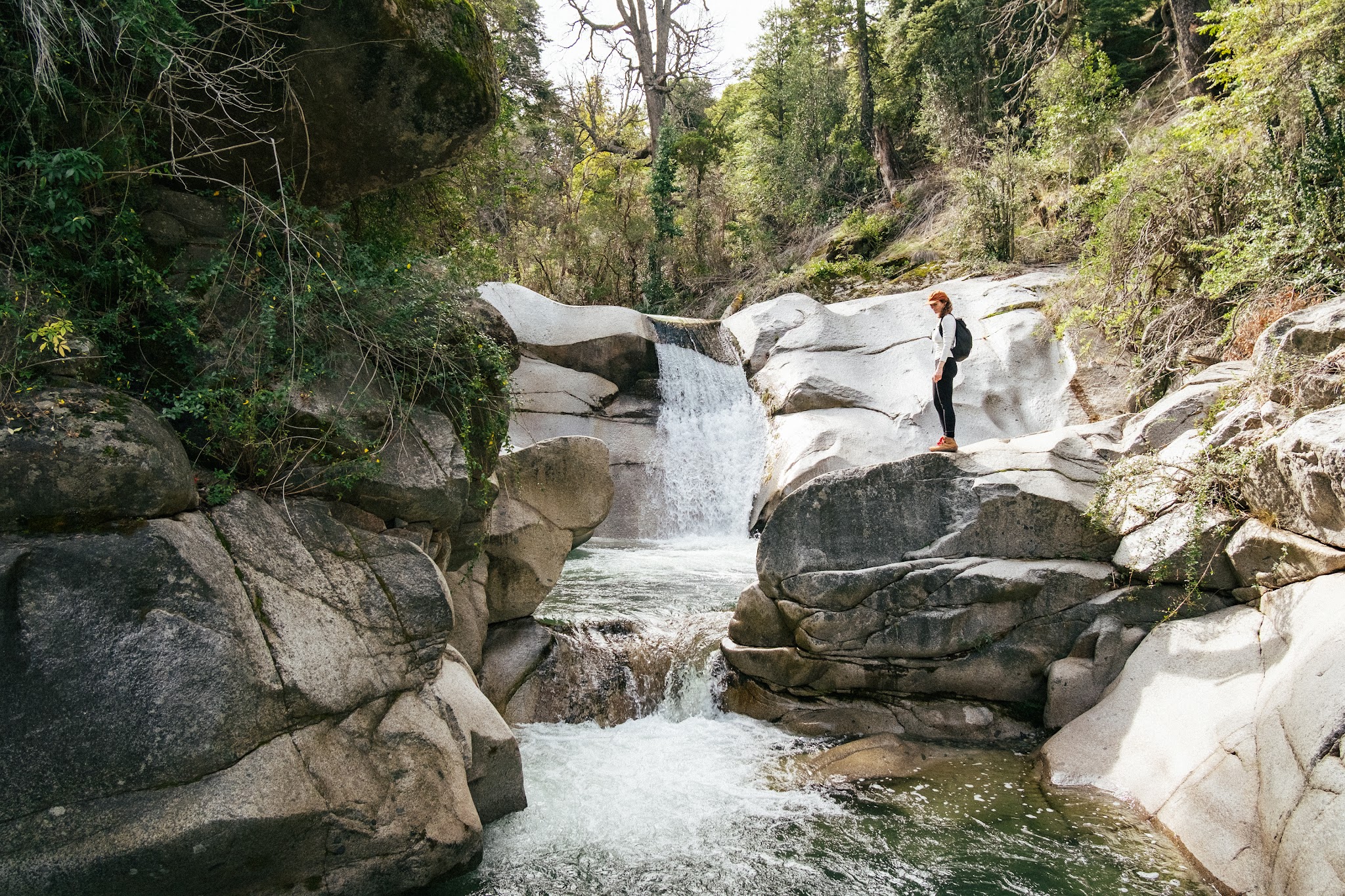
Nothing but the silence of a preserved Mediterranean forest.
Here, nature does not seem organized around humans. And that is precisely what makes the place so beautiful.
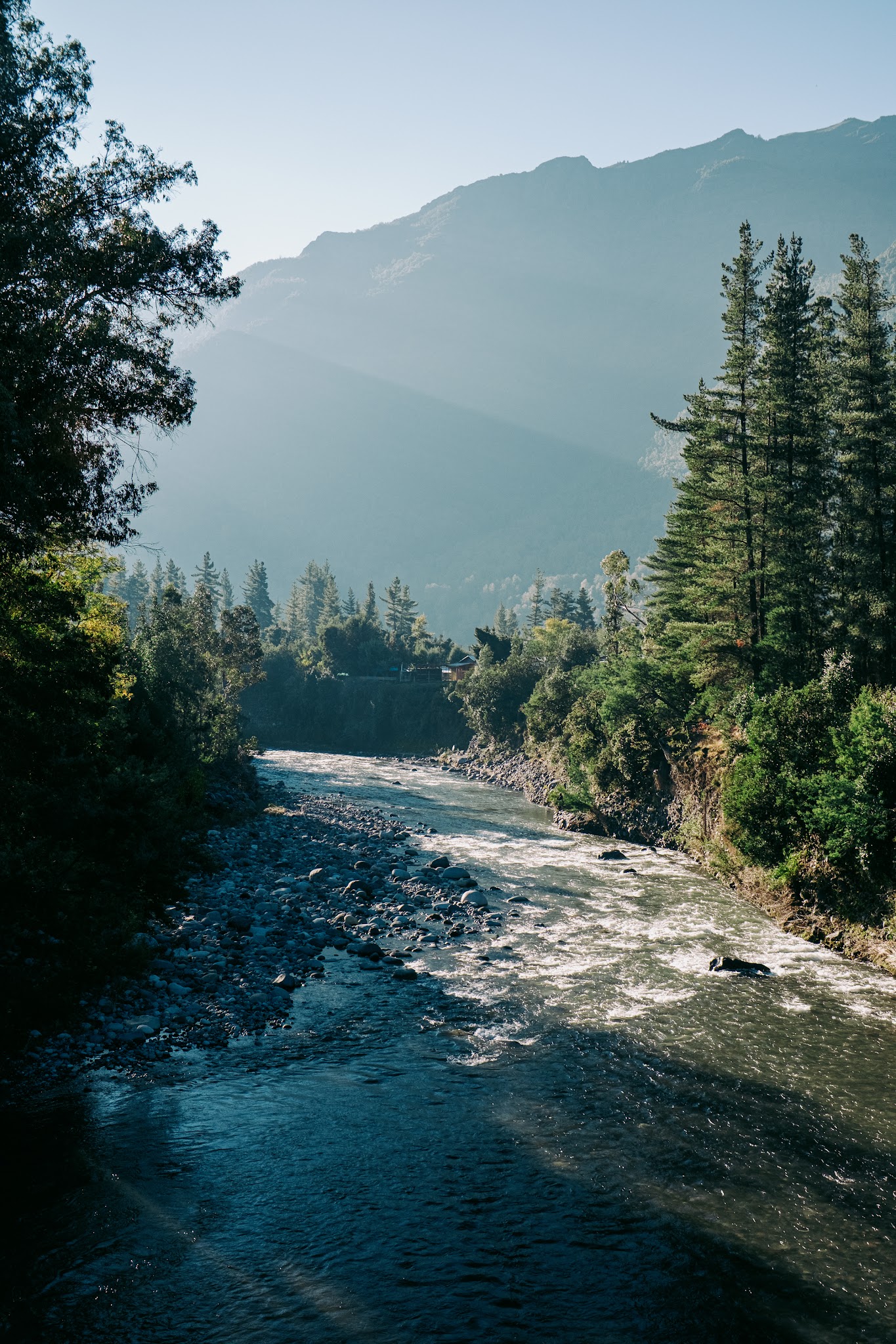
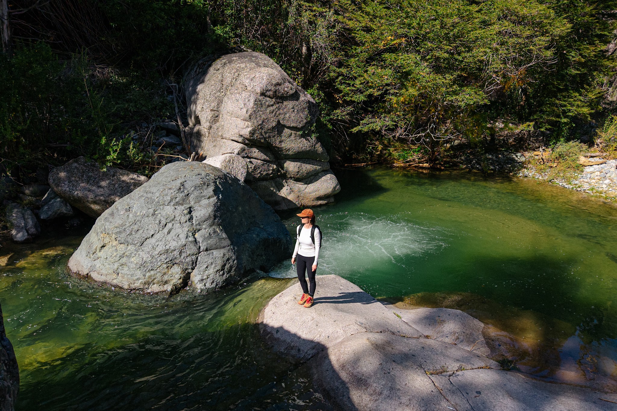
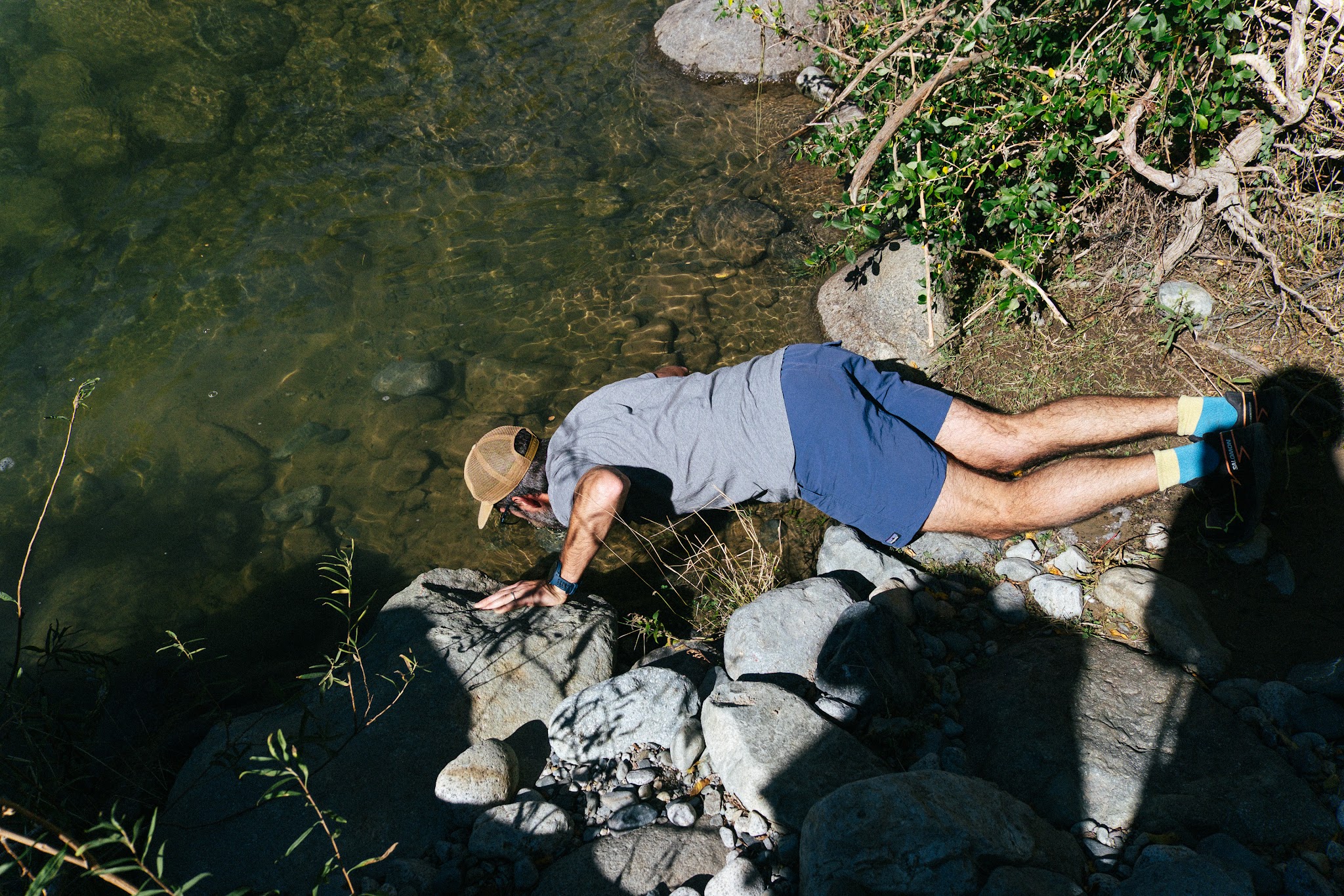
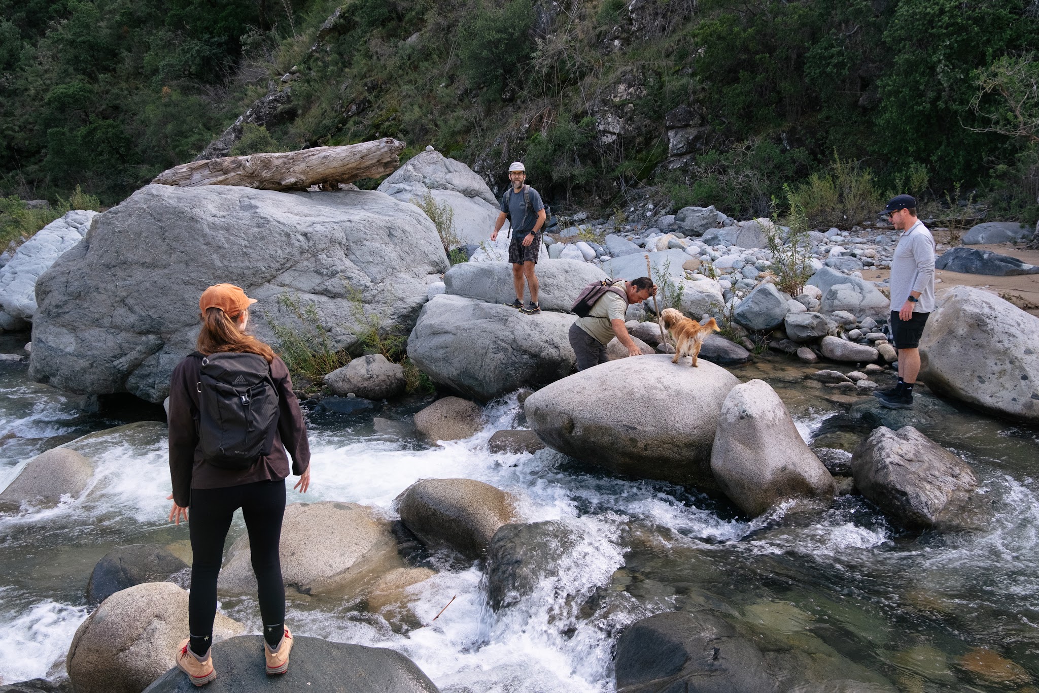
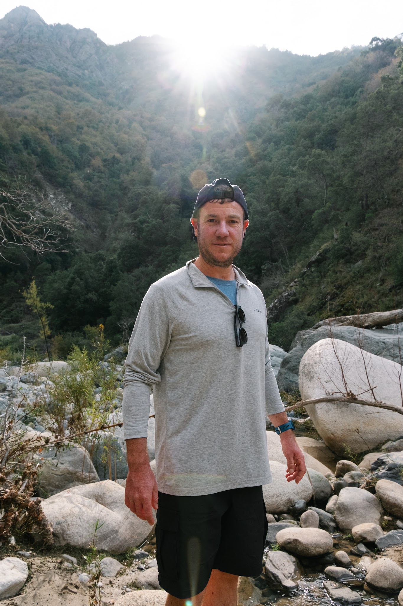
To reach some areas of the reserve, however, we had to cross several rivers on foot.
And at this point… small traveller confession: I deeply hate river crossings.
The idea of slipping on an unstable rock and ending up swallowed by an icy river is usually more than enough to send my stress levels through the roof.
Pedro and Juan therefore witnessed – with remarkable patience and probably a fair amount of amusement – each of my internal negotiations with the current.
At one point, one of them even handed me wooden sticks to help me cross without turning the expedition into an accidental swim.
Meeting the guardian of the valley
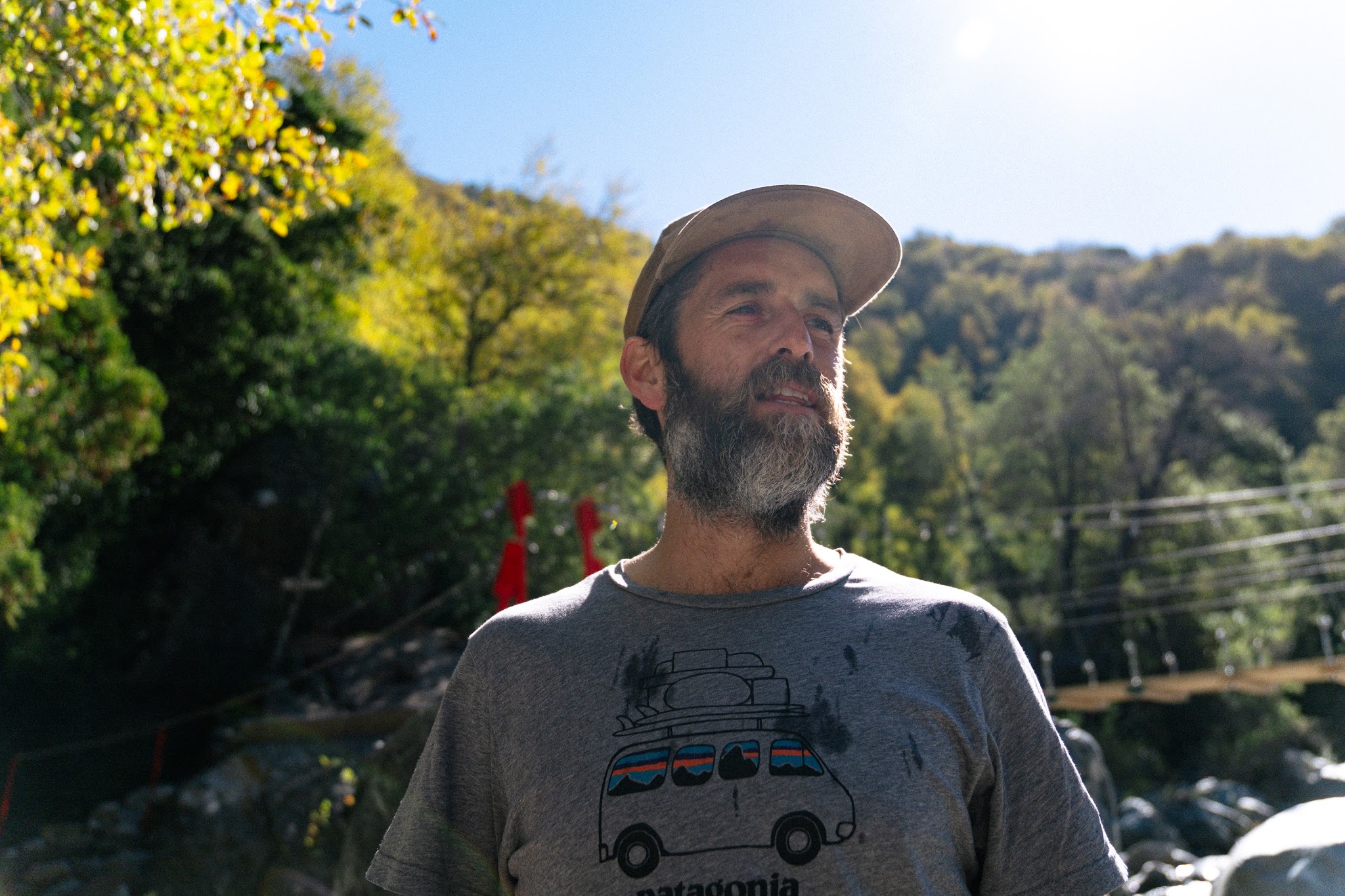
Before leaving Cuenca Andina, I also had the chance to meet Manuel Dörr Bulnes, the reserve’s director.
We spent a long time discussing the philosophy behind the valley’s permanent protection, the challenges of conservation in Chile and this increasingly rare desire to allow certain territories to exist outside of intensive exploitation logic.
That encounter eventually gave birth to an entire article dedicated to Cuenca Andina, its history and its unique conservation model in Chile.
If you’d like to learn more about this valley protected forever, you can discover the full article right here: [insert article link].